Topography of Terror, Berlin
Facts and practical information
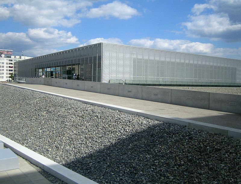
In the heart of Berlin, the Topography of Terror stands as a poignant reminder of the atrocities committed by the Nazi regime. Situated on the site of the former headquarters of the Gestapo and SS, the museum is dedicated to documenting the mechanisms of repression during the Third Reich.
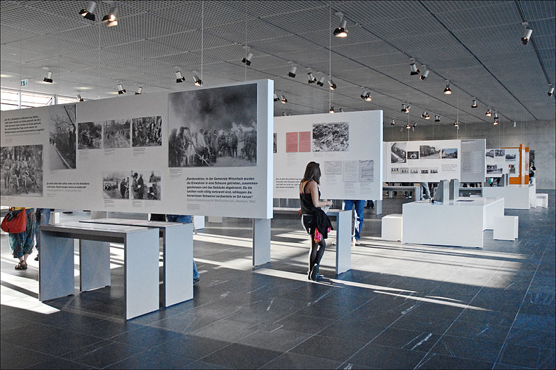
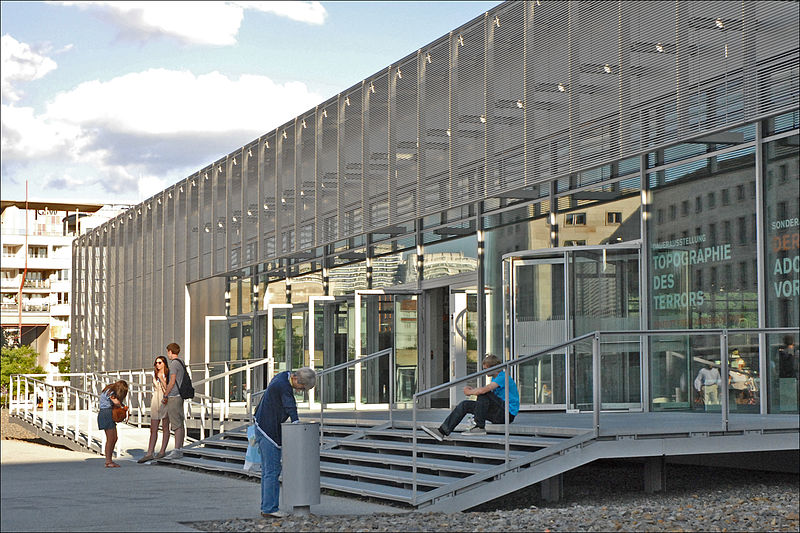
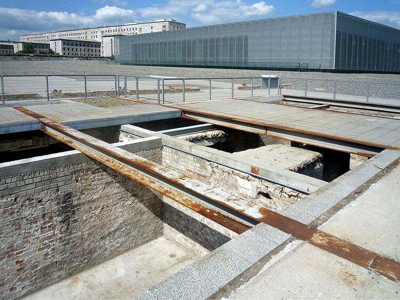
The Topography of Terror is more than a museum; it is a memorial and an educational center, located on Niederkirchnerstraße where the most feared institutions of Nazi Germany once orchestrated terror. The exhibition stretches both indoors and outdoors, with a permanent display that meticulously recounts the history of the site and the crimes administered from this very location.
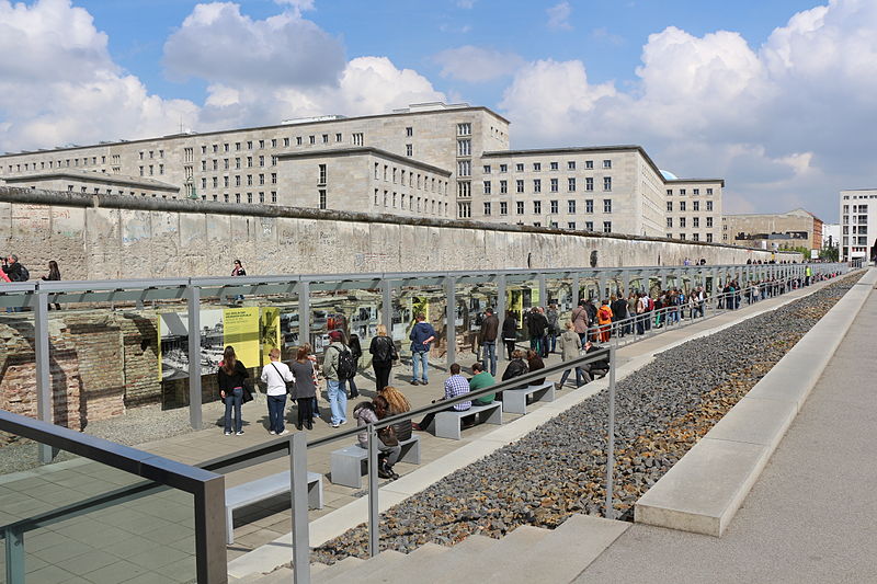
Visitors to the Topography of Terror are presented with a wealth of historical documents, photographs, and narratives that reveal the extent of the terror and persecution during the years of Nazi dictatorship. The open-air exhibition, which runs along the remnants of the Berlin Wall, adds a stark historical context to the narrative, as it is also a symbol of division and oppression.
The museum also delves into the broader context of Nazi rule in Europe, providing a comprehensive overview of the various mechanisms of state terror and the consequences for the population. It does not shy away from difficult topics, presenting a thorough and unflinching examination of the era.
The Topography of Terror is a site of reflection and education, attracting scholars, students, and visitors from around the world. It serves as a stark reminder of the dark chapters of human history and the importance of remembering them to prevent such events from ever occurring again.
Topography of Terror – popular in the area (distance from the attraction)
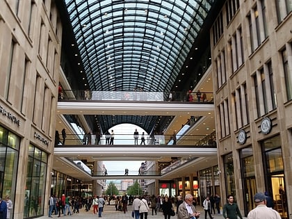
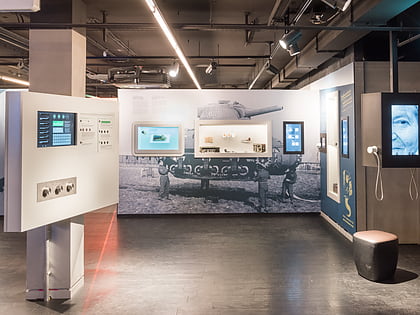
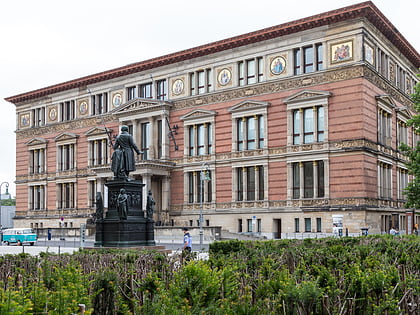
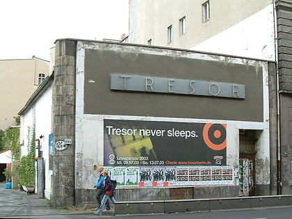
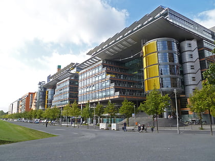
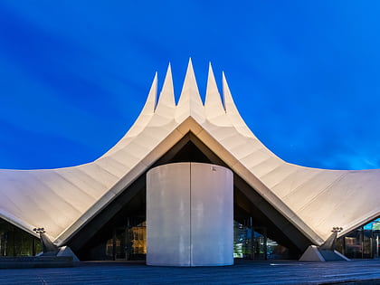
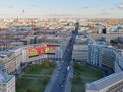
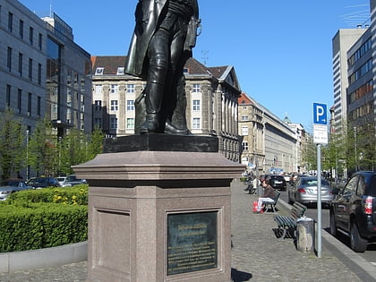
Nearby attractions include: Potsdamer Platz, Checkpoint Charlie Museum, Mall of Berlin, Spy Museum.
Frequently Asked Questions (FAQ)
When is Topography of Terror open?
- Monday 10 am - 8 pm
- Tuesday 10 am - 8 pm
- Wednesday 10 am - 8 pm
- Thursday 10 am - 8 pm
- Friday 10 am - 8 pm
- Saturday 10 am - 8 pm
- Sunday 10 am - 8 pm
Which popular attractions are close to Topography of Terror?
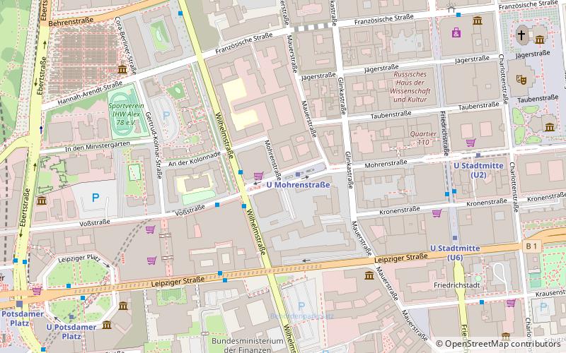
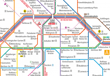
How to get to Topography of Terror by public transport?
Metro
- U Kochstraße/Checkpoint Charlie • Lines: U6 (8 min walk)
- U Potsdamer Platz • Lines: U2 (8 min walk)
Train
- Berlin Potsdamer Platz (11 min walk)
- U Möckernbrücke (13 min walk)
Tram
- S+U Friedrichstraße • Lines: 12, M1 (24 min walk)
- Universitätsstraße • Lines: 12, M1 (24 min walk)



 Metro
Metro

