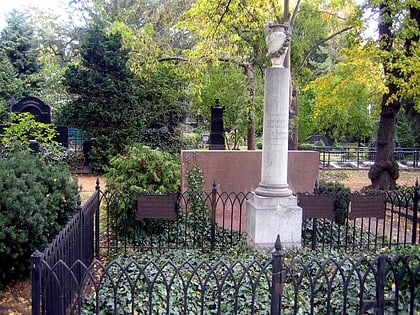
Bernauer Straße, Berlin
Map
Gallery
Facts and practical information
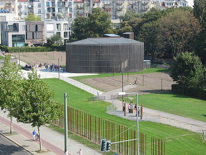
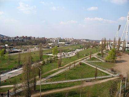
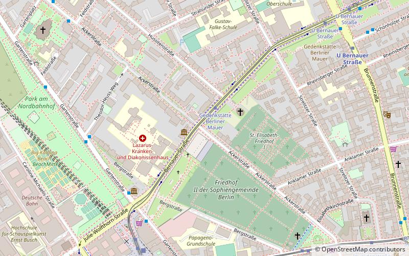
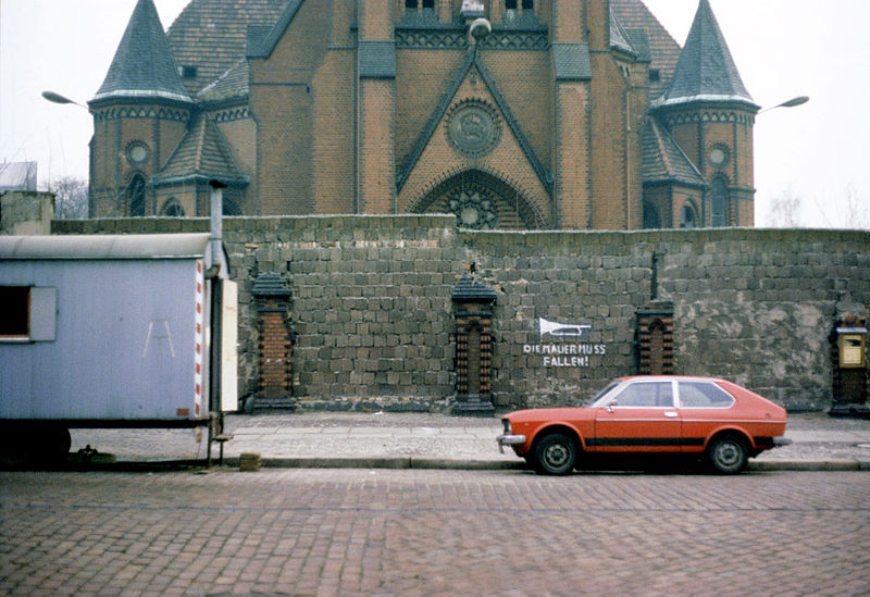
Bernauer Straße is a street of Berlin situated between the localities of Gesundbrunnen and Mitte, today both belonging to the Mitte borough. It runs from the Mauerpark at the corner of Prenzlauer Berg to the Nordbahnhof. The street's name refers to the town of Bernau bei Berlin, situated in Brandenburg. ()
Address
MitteBerlin
ContactAdd
Social media
Add
Day trips
Bernauer Straße – popular in the area (distance from the attraction)
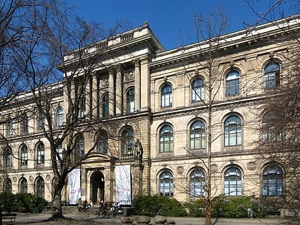
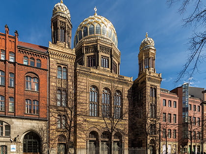
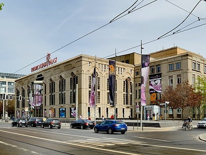
Nearby attractions include: Museum für Naturkunde, New Synagogue, B-flat, Friedrichstadt-Palast.
Frequently Asked Questions (FAQ)
Which popular attractions are close to Bernauer Straße?
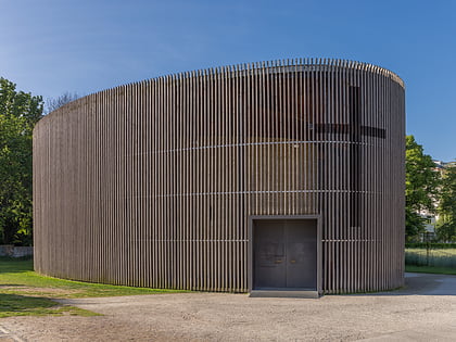
Nearby attractions include Ackerstraße, Berlin (1 min walk), Kapelle der Versöhnung, Berlin (2 min walk), Friedhof II der Sophiengemeinde Berlin, Berlin (4 min walk), Berlin Wall Memorial, Berlin (5 min walk).
How to get to Bernauer Straße by public transport?
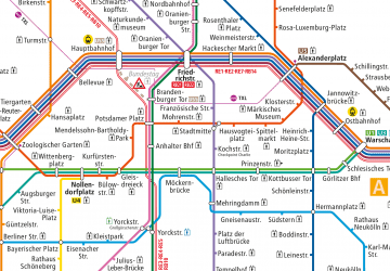
The nearest stations to Bernauer Straße:
Tram
Metro
Train
Bus
Tram
- Gedenkstätte Berliner Mauer • Lines: M10 (1 min walk)
- S Nordbahnhof • Lines: 12, M10, M8 (7 min walk)
Metro
- U Bernauer Straße • Lines: U8 (8 min walk)
- U Naturkundemuseum • Lines: U6 (12 min walk)
Train
- Berlin Gesundbrunnen (24 min walk)
- Berlin Friedrichstraße (28 min walk)
Bus
- Alexanderplatz • Lines: 002, 057, 065, 070, 125, 1385, 170, 270, 370, N13, N1385, N232, N44, N70 (34 min walk)

 Metro
Metro