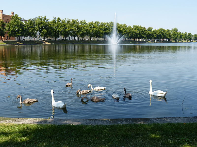
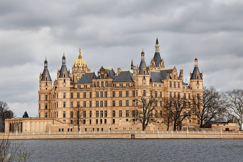
Pfaffenteich, Schwerin

Gallery (2)
Map
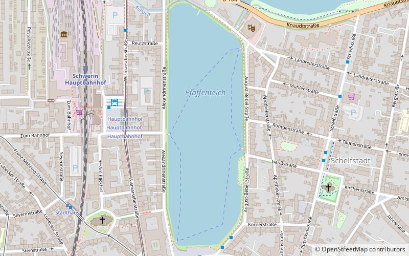
Map
Gallery
Facts and practical information
Alternative names: Area: 29.65 acres (0.0463 mi²)Maximum depth: 14 ftElevation: 135 ft a.s.l.Coordinates: 53°38'2"N, 11°24'45"E
Address
Alexandrinenstraße 1Schwerin
ContactAdd
Social media
Add
Getting there by public transportation
Public transportation stops near this location
- Bus
- Tram
- Train
 Bus
Bus
- Calculate routeHauptbahnhof 4 min walk
- Calculate routeStadthaus 7 min walk
- Calculate routeMarienplatz 10 min walk
- Calculate routePlatz der Freiheit 11 min walk
- Calculate routeHauptbahnhof 4 min walk
- Calculate routeSchwerin Hauptbahnhof 5 min walk
- Calculate routeFriedrichstraße 6 min walk
- Calculate routeSchelfmarkt 6 min walk
- Calculate routeSchwerin Hauptbahnhof 6 min walk
- Calculate routeSchwerin Mitte 15 min walk
Day trips


Frequently Asked Questions (FAQ)
Which popular attractions are close to Pfaffenteich?
Nearby attractions include Kunstwerk 3, Schwerin (4 min walk), E-Werk, Schwerin (5 min walk), Der Speicher, Schwerin (6 min walk), Paulskirche, Schwerin (6 min walk).
How to get to Pfaffenteich by public transport?
The nearest stations to Pfaffenteich:
Tram
Bus
Train
Tram
- Hauptbahnhof • Lines: 1, 4 (4 min walk)
- Stadthaus • Lines: 2 (7 min walk)
Bus
- Hauptbahnhof • Lines: 10, 100, 11, 19, 5, 7, 715, 8, Stadtrundfahrt (4 min walk)
- Schwerin Hauptbahnhof (5 min walk)
Train
- Schwerin Hauptbahnhof (6 min walk)
- Schwerin Mitte (15 min walk)