Haus Hartenfels, Duisburg
Map
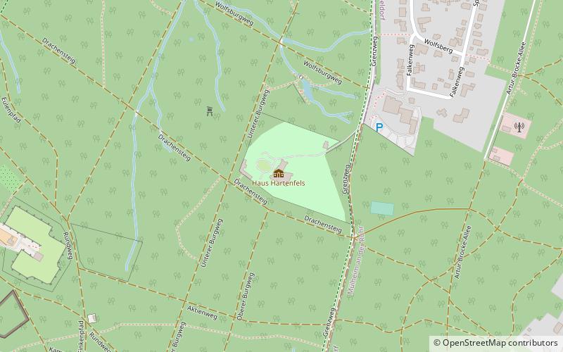
Map

Facts and practical information
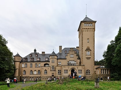
Haus Hartenfels is a castle-like country estate located in the Duisburg city forest. The house stands on the highest point of the city of Duisburg in the district of Neudorf-Nord.
Coordinates: 51°25'28"N, 6°48'57"E
Address
290 Mülheimer StraßeDuisburg Mitte (Neudorf-Nord)Duisburg
ContactAdd
Social media
Add
Day trips
Haus Hartenfels – popular in the area (distance from the attraction)
Nearby attractions include: Zoo Duisburg, Botanischer Garten Kaiserberg, Theater an der Ruhr, Zoo Shop.
Frequently Asked Questions (FAQ)
How to get to Haus Hartenfels by public transport?
The nearest stations to Haus Hartenfels:
Tram
Bus
Light rail
Tram
- Monning • Lines: 901 (16 min walk)
- Raffelberg • Lines: 901 (18 min walk)
Bus
- Hochfelder Straße • Lines: 122, Ne2 (17 min walk)
- Blötter Weg • Lines: 122, 134, Ne2 (16 min walk)
Light rail
- Speldorf Betriebshof • Lines: 901 (28 min walk)
