Westturm, Wangerooge

Gallery (1)
Map
Map
Facts and practical information
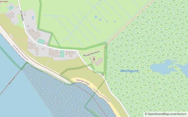
Westturm (address: Str. Zum Westen 27) is a place located in Wangerooge (Lower Saxony state) and belongs to the category of tower.
It is situated at an altitude of 13 feet, and its geographical coordinates are 53°47'5"N latitude and 7°51'27"E longitude.
Among other places and attractions worth visiting in the area are: Kriegsgräberstätte (memorial, 34 min walk), Inselmuseum "Alter Leuchtturm" (specialty museum, 44 min walk), Golfclub Insel Wangerooge e.V. (golf, 58 min walk).
Coordinates: 53°47'5"N, 7°51'27"E
Address
Str. Zum Westen 27Wangerooge 26486
ContactAdd
Social media
Add
Day trips


