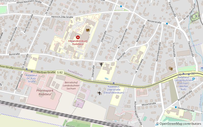
Kirche Christus König, Radebeul
Map

Map

Facts and practical information
Christus König Church stands at 11 Borstrasse in the Niederlößnitz district of the Saxon city of Radebeul. The Catholic church is an unusual building over an equilateral triangular floor plan and with glass walls. Designed by architects Günter Behnisch and Gerald Staib, the house of worship was consecrated on November 25, 2001.
Coordinates: 51°6'24"N, 13°39'10"E
Address
Radebeul
ContactAdd
Social media
Add
Day trips
Kirche Christus König – popular in the area (distance from the attraction)
Nearby attractions include: Altkötzschenbroda, Vinothek Hoflößnitz, Karl-May-Museum, Heimatstube Kötzschenbroda.
Frequently Asked Questions (FAQ)
Which popular attractions are close to Kirche Christus König?
Nearby attractions include Landesbühnen Sachsen, Radebeul (7 min walk), Vinothek Hoflößnitz, Radebeul (14 min walk), Fountainenplatz, Radebeul (18 min walk), Bismarckturm Radebeul, Radebeul (19 min walk).
How to get to Kirche Christus König by public transport?
The nearest stations to Kirche Christus König:
Tram
Train
Bus
Tram
- Radebeul, Zillerstraße • Lines: 4 (2 min walk)
Train
- Radebeul-Weintraube (8 min walk)
- Weißes Roß (10 min walk)
Bus
- S-Bahnhof Radebeul Weintraube • Lines: 72 (8 min walk)
- Kaufland Radebeul • Lines: 72 (12 min walk)


