St. Crescens, Bensheim
Map

Map

Facts and practical information
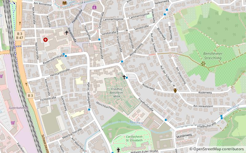
The cemetery church of St. Crescens in Bensheim an der Bergstraße, together with the surrounding cemetery, is a listed cultural monument. The church is located at Friedhofstraße 41.
Coordinates: 49°40'37"N, 8°37'30"E
Address
Friedhofstraße 41Bensheim 64625
ContactAdd
Social media
Add
Day trips
St. Crescens – popular in the area (distance from the attraction)
Nearby attractions include: Kirchberg, Hemsberg, Church of St. Michael, Schönberger Schloss.
Frequently Asked Questions (FAQ)
Which popular attractions are close to St. Crescens?
Nearby attractions include Hospitalkirche St. Joseph, Bensheim (6 min walk), Fraa vun Bensem, Bensheim (7 min walk), Market Square, Bensheim (8 min walk), Red Tower, Bensheim (10 min walk).
How to get to St. Crescens by public transport?
The nearest stations to St. Crescens:
Bus
Train
Bus
- Friedhof • Lines: 675 (1 min walk)
- Bensheim Wingertsweg • Lines: 6972 (2 min walk)
Train
- Bensheim (12 min walk)


