Palaces and Parks of Potsdam and Berlin, Potsdam
Map

Map

Facts and practical information
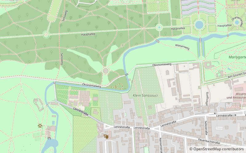
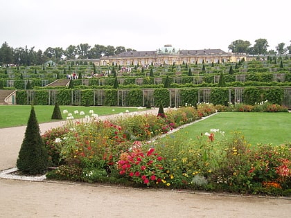
Palaces and Parks of Potsdam and Berlin are a group of palace complexes and extended landscape gardens located in the Havelland region around Potsdam and the German capital of Berlin. The term was used upon the designation of the cultural ensemble as a World Heritage Site by UNESCO in 1990. It was recognized for the historic unity of its landscape—a unique example of landscape design against the background of monarchic ideas of the Prussian state and common efforts of emancipation. ()
Local name: Schlösser und Parks von Potsdam und Berlin Unesco: from 1990Area: 7.97 mi²Coordinates: 52°24'0"N, 13°1'60"E
Address
Westliche Vorstadt (Brandenburger Vorstadt)Potsdam
ContactAdd
Social media
Add
Day trips
Palaces and Parks of Potsdam and Berlin – popular in the area (distance from the attraction)
Nearby attractions include: Sanssouci, New Palace, Sanssouci Park, Orangerieschloss.
Frequently Asked Questions (FAQ)
Which popular attractions are close to Palaces and Parks of Potsdam and Berlin?
Nearby attractions include Chinese House, Potsdam (2 min walk), Römische Bäder, Potsdam (7 min walk), Neue Kammern, Potsdam (7 min walk), Historische Mühle, Potsdam (8 min walk).
How to get to Palaces and Parks of Potsdam and Berlin by public transport?
The nearest stations to Palaces and Parks of Potsdam and Berlin:
Bus
Tram
Train
Ferry
Bus
- Schloss Sanssouci • Lines: 695, X15 (9 min walk)
- Schloss Sanssouci/Bornstedter Straße • Lines: 614, 650, 697 (12 min walk)
Tram
- Auf dem Kiewitt • Lines: 91, 94, 98 (12 min walk)
- Bahnhof Charlottenhof/Geschwister-Scholl-Straße • Lines: 91, 94, 98 (12 min walk)
Train
- Potsdam Charlottenhof (14 min walk)
- Potsdam Park Sanssouci (24 min walk)
Ferry
- Neustädter Havelbucht - Sanssouci • Lines: Potsdamer Wassertaxi (15 min walk)
- Potsdam West - Arcona Hotel • Lines: Potsdamer Wassertaxi (19 min walk)


