Lohfelden, Kassel

Gallery (1)
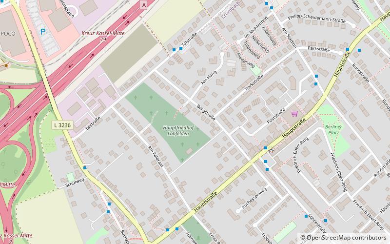
Map
Map
Facts and practical information
Getting there by public transportation
Public transportation stops near this location
- Bus
- Tram
 Bus
Bus
- Calculate routeTalstraße 4 min walk
- Calculate routeAltes Rathaus 4 min walk
- Calculate routeKaufungen-Papierfabrik 38 min walk
Day trips


Frequently Asked Questions (FAQ)
How to get to Lohfelden by public transport?
The nearest stations to Lohfelden:
Bus
Tram
Bus
- Talstraße • Lines: 35 (4 min walk)
- Altes Rathaus • Lines: 35, 37 (4 min walk)
Tram
- Kaufungen-Papierfabrik • Lines: 4, 8 (38 min walk)