Süderoog, Schleswig-Holstein Wadden Sea National Park

Gallery (1)
Map
Map
Facts and practical information
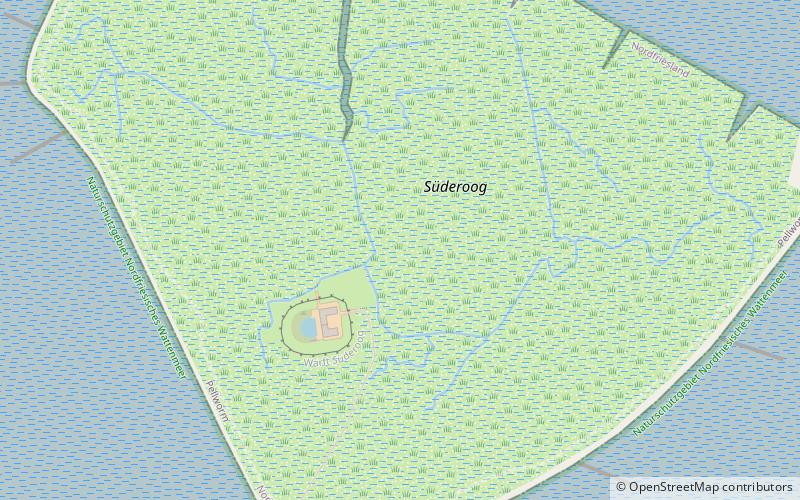
Süderoog is one of the Halligen, a group of islands in the North Frisian Wadden Sea, off the west coast of Schleswig-Holstein in north Germany. It belongs administratively to the parish of Pellworm and is a bird reserve. ()
Alternative names: Area: 153.21 acres (0.2394 mi²)Maximum elevation: 10 ftArchipelago: North Frisian IslandsCoordinates: 54°27'48"N, 8°33'11"E
Address
Schleswig-Holstein Wadden Sea National Park
ContactAdd
Social media
Add
Day trips

