Schaalsee

Gallery (1)
Map
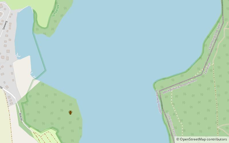
Map
Facts and practical information
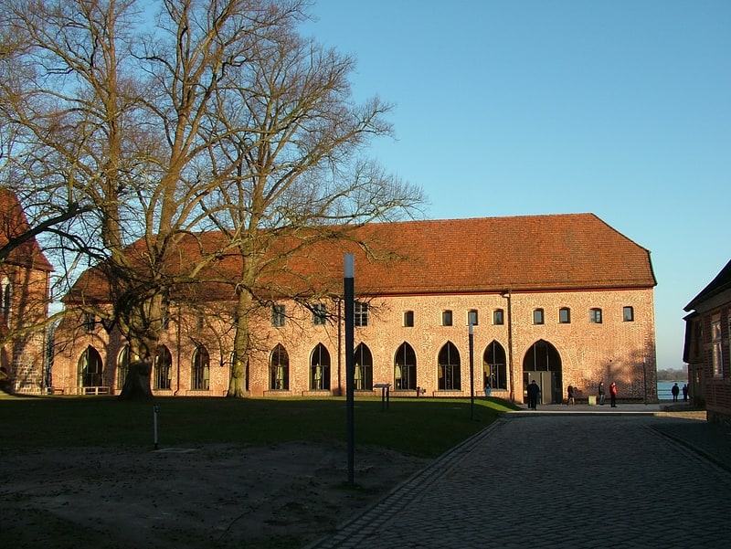
Schaalsee is a 24 km2 lake in Germany. It forms part of the border between Schleswig-Holstein and Mecklenburg-Vorpommern. The town of Zarrentin is located on its southern shores. Other municipalities on the lake are Seedorf, Sterley, Salem, Kittlitz and Kneese. ()
Alternative names: Area: 9.07 mi²Maximum depth: 235 ftElevation: 108 ft a.s.l.Coordinates: 53°36'1"N, 10°54'52"E
Location
Schleswig-Holstein
ContactAdd
Social media
Add
Day trips