Höllental

Gallery (1)
Map
Map
Facts and practical information
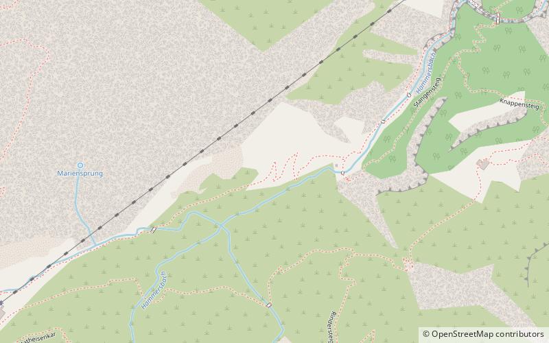
The Höllental, English translation "Hell Valley" or "Valley of Hell" is one of the routes on the German side leading up the Zugspitze on the German-Austrian border in the northern Alps. It is located in the district of Garmisch-Partenkirchen. ()
Location
Bavaria
ContactAdd
Social media
Add
Day trips


