Sankt Paul, Heidelberg
Map
Gallery
Facts and practical information
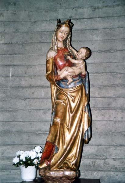
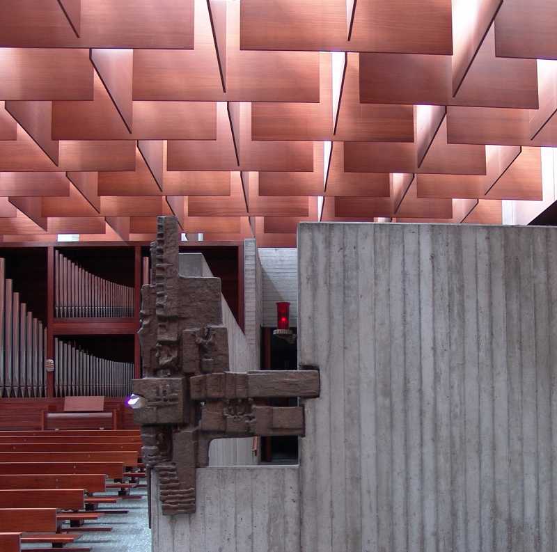
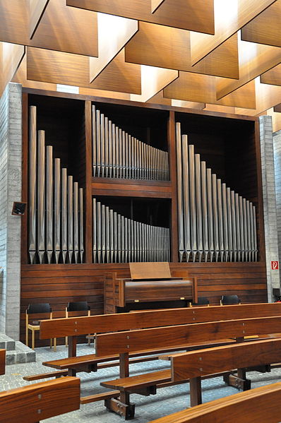
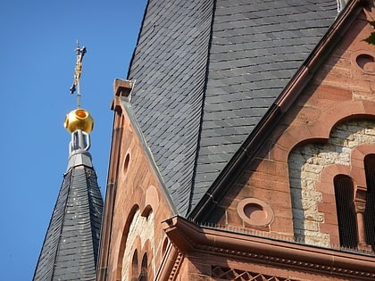
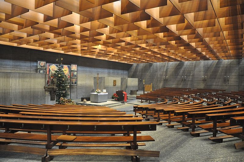
The Church of St. Paul in the Boxberg district of Heidelberg was built between 1970 and 1972 as a Roman Catholic parish church for the two southern mountain districts of Heidelberg Boxberg and Emmertsgrund. The church is a listed building.
Coordinates: 49°22'25"N, 8°42'11"E
Address
2 BuchwaldwegHeidelberg
ContactAdd
Social media
Add
Day trips
Sankt Paul – popular in the area (distance from the attraction)
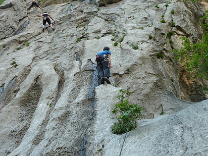
Nearby attractions include: Riesenstein - Kakerlakenhockerwand, Königstuhl, Märchenparadies Heidelberg, Gaisberg.
Frequently Asked Questions (FAQ)
Which popular attractions are close to Sankt Paul?
Nearby attractions include Rohrbacher Schlößchen, Heidelberg (17 min walk), Eichendorffplatz, Heidelberg (22 min walk).
How to get to Sankt Paul by public transport?
The nearest stations to Sankt Paul:
Bus
Tram
Bus
- Haselnussweg • Lines: 27, 29, 39A, F, K, M1 (2 min walk)
- Louise-Ebert-Zentrum • Lines: 27, 29, 39A, F, K, M1 (2 min walk)
Tram
- Freiburger Straße • Lines: 23, 24 (18 min walk)
- Ortenauer Straße • Lines: 23, 24 (19 min walk)


