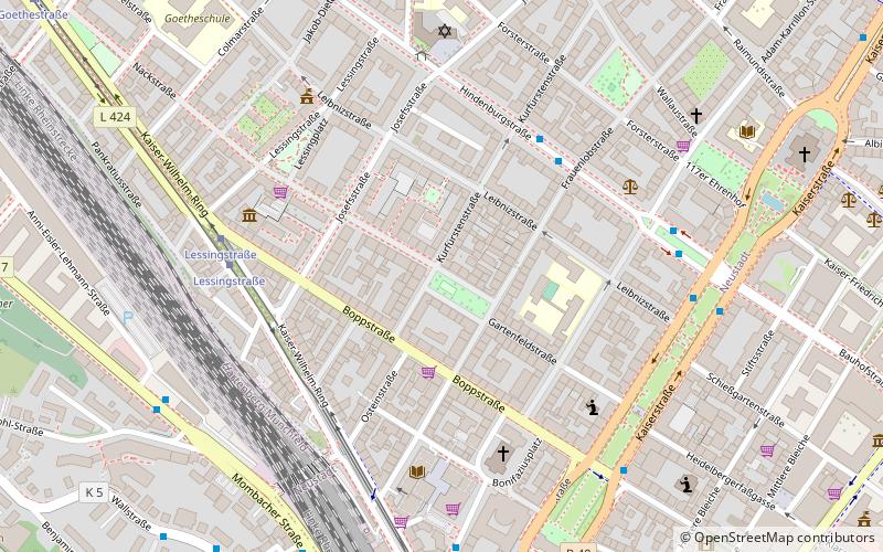
Gartenfeldplatz, Mainz
Map

Map

Facts and practical information
Gartenfeldplatz is a square in the Neustadt district of Mainz, which was created as part of the city's expansion after the Franco-Prussian War of 1870/71.
Elevation: 302 ft a.s.l.Coordinates: 50°0'21"N, 8°15'34"E
Day trips
Gartenfeldplatz – popular in the area (distance from the attraction)
Nearby attractions include: Deutschhaus, Kurfürstliches Schloss, Christ Church, Staatstheater Mainz.
Frequently Asked Questions (FAQ)
Which popular attractions are close to Gartenfeldplatz?
Nearby attractions include New synagogue Mainz, Mainz (5 min walk), New Apostolic Church, Mainz (7 min walk), Old Jewish Cemetery, Mainz (9 min walk), Christ Church, Mainz (9 min walk).
How to get to Gartenfeldplatz by public transport?
The nearest stations to Gartenfeldplatz:
Bus
Tram
Train
Bus
- Kurfürstenstraße • Lines: 28, 62, 67, 69, 92 (4 min walk)
- Synagogenplatz • Lines: 28, 62, 67, 69, 92 (5 min walk)
Tram
- Lessingstraße • Lines: 50, 51, 59 (5 min walk)
- Hauptbahnhof K • Lines: 52, 53 (9 min walk)
Train
- Mainz Hbf (9 min walk)
- Mainz-Kastel (26 min walk)


