Zeller See
Map

Map

Facts and practical information
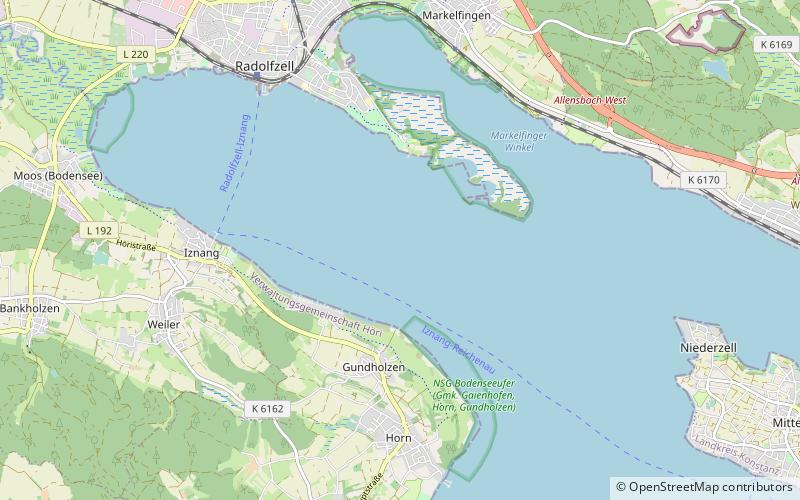
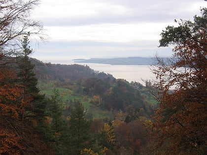
The Zeller See is part of the Lower Lake, the lower part of Lake Constance. It lies in the bay of Radolfzell, and between the peninsula of Mettnau to the north and the peninsula of Höri to the south. To the west it is bounded by the ried of the Radolfzeller Aach. ()
Alternative names: Area: 4.25 mi²Length: 3.36 miWidth: 7710 ftMaximum depth: 72 ftElevation: 1286 ft a.s.l.Coordinates: 47°42'58"N, 8°59'37"E
Location
Baden-Württemberg
ContactAdd
Social media
Add
Day trips
Zeller See – popular in the area (distance from the attraction)
Nearby attractions include: Basilica of Sts. Peter and Paul, Church of Saint George, Museum Haus Dix, St. Maria u. Markus Cathedral.


