Friedrichshain-Kreuzberg, Berlin
Map
Facts and practical information
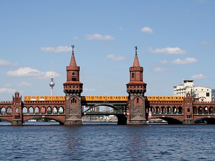
Friedrichshain-Kreuzberg is the second borough of Berlin, formed in 2001 by merging the former East Berlin borough of Friedrichshain and the former West Berlin borough of Kreuzberg. The historic Oberbaum Bridge, formerly a Berlin border crossing for pedestrians, links both districts across the river Spree as the new borough's landmark. ()
Day trips
Friedrichshain-Kreuzberg – popular in the area (distance from the attraction)
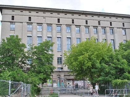
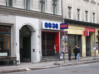
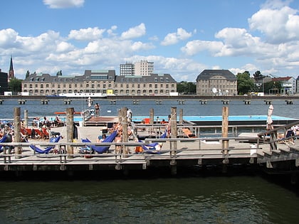
Nearby attractions include: Berghain, East Side Gallery, SO36, Badeschiff.
Frequently Asked Questions (FAQ)
Which popular attractions are close to Friedrichshain-Kreuzberg?
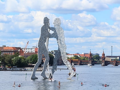
Nearby attractions include Oberbaum Bridge, Berlin (6 min walk), Tabor Church, Berlin (8 min walk), Ramones Museum, Berlin (8 min walk), Molecule Man Sculpture, Berlin (12 min walk).
How to get to Friedrichshain-Kreuzberg by public transport?
The nearest stations to Friedrichshain-Kreuzberg:
Tram
Metro
Bus
Train
Tram
- S+U Warschauer Straße • Lines: M10 (9 min walk)
- S Warschauer Straße • Lines: M10, M13 (15 min walk)
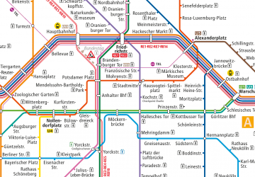
Metro
- Warschauer Straße Station • Lines: U1, U3 (10 min walk)
- U Schlesisches Tor • Lines: U1, U3 (10 min walk)
Bus
- Bahnhof Treptower Park/Fernbus • Lines: N232, N70 (20 min walk)
- S Ostkreuz • Lines: 240, N40 (21 min walk)
Train
- Berlin Ostkreuz (22 min walk)
- Berlin Ostbahnhof (25 min walk)
 Metro
Metro