Lerchenberg, Hildesheim

Gallery (1)
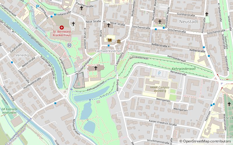
Map
Map
Facts and practical information
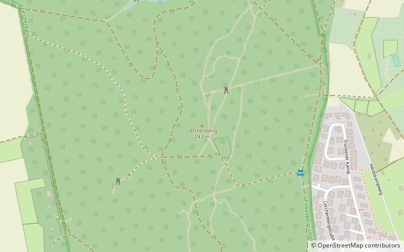
The Lerchenberg near Neuhof in the Lower Saxon district of Hildesheim is with about 242.5 m above sea level the highest elevation of the Giesener Berge belonging to the Innerstebergland. Its north-northeast flank is called Rottsberg.
Coordinates: 52°7'58"N, 9°54'3"E
Address
Hildesheim
ContactAdd
Social media
Add
Getting there by public transportation
Public transportation stops near this location
- Bus
 Bus
Bus
- Calculate routeTrockener Kamp 14 min walk
- Calculate routeHafersiek 18 min walk
- Calculate routeKlingenberg 21 min walk
- Calculate routeNeuhof 25 min walk
Day trips


Frequently Asked Questions (FAQ)
How to get to Lerchenberg by public transport?
The nearest stations to Lerchenberg:
Bus
Bus
- Trockener Kamp • Lines: 103, 13, 3 (14 min walk)
- Hafersiek • Lines: 103, 13, 3 (18 min walk)