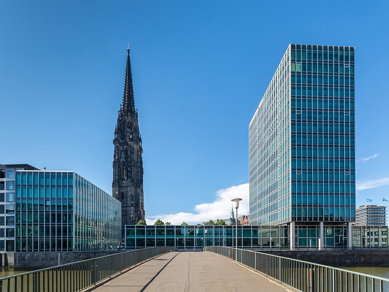
Fleetstreet, Hamburg
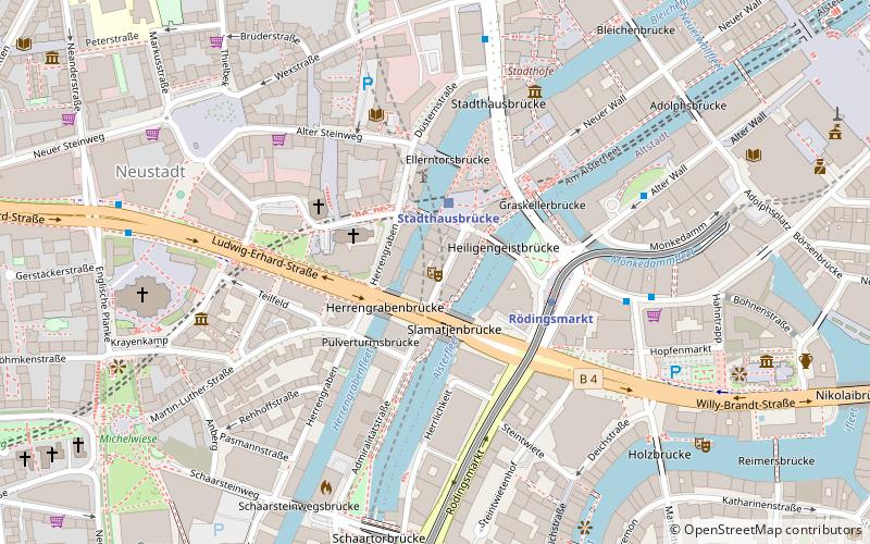
Map
Facts and practical information
Getting there by public transportation
Public transportation stops near this location
- Metro
- Bus
- Light rail
- Train
- Ferry
 Metro
Metro
- Calculate routeStadthausbrücke 2 min walk
- Calculate routeJungfernstieg 12 min walk
- Calculate routeLandungsbrücken 15 min walk
- Calculate routeRödingsmarkt 3 min walk
- Calculate routeBaumwall 9 min walk
- Calculate routeRathaus 11 min walk
- Calculate routeJungfernstieg 12 min walk
- Calculate routeU Rödingsmarkt 5 min walk
- Calculate routeAxel-Springer-Platz 6 min walk
- Calculate routeMichaeliskirche 7 min walk
- Calculate routeJungfernstieg 13 min walk
- Calculate routeSt. Pauli-Landungsbrücken 22 min walk
- Calculate routeAtlantic 27 min walk
- Calculate routeHamburg Dammtor / Universität 23 min walk
- Calculate routeHamburg Central Station 25 min walk
Day trips
Fleetstreet – popular in the area (distance from the attraction)
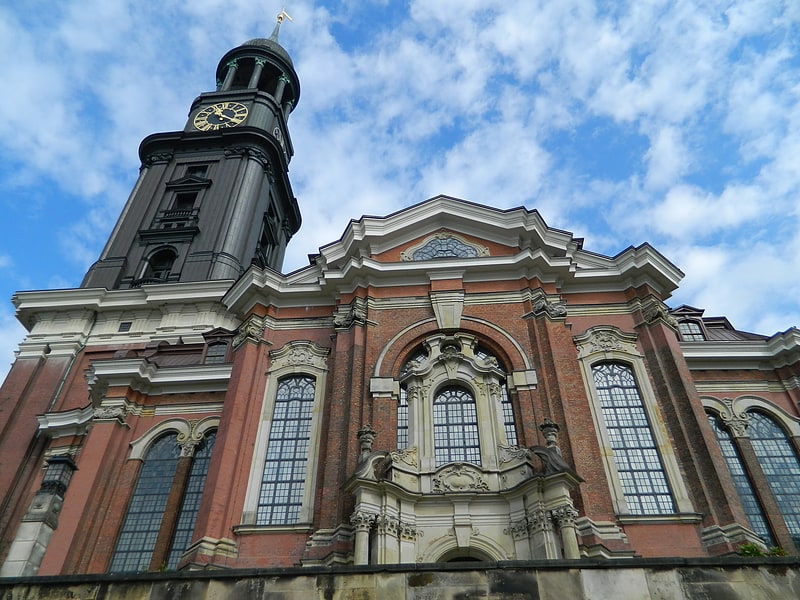
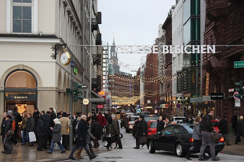
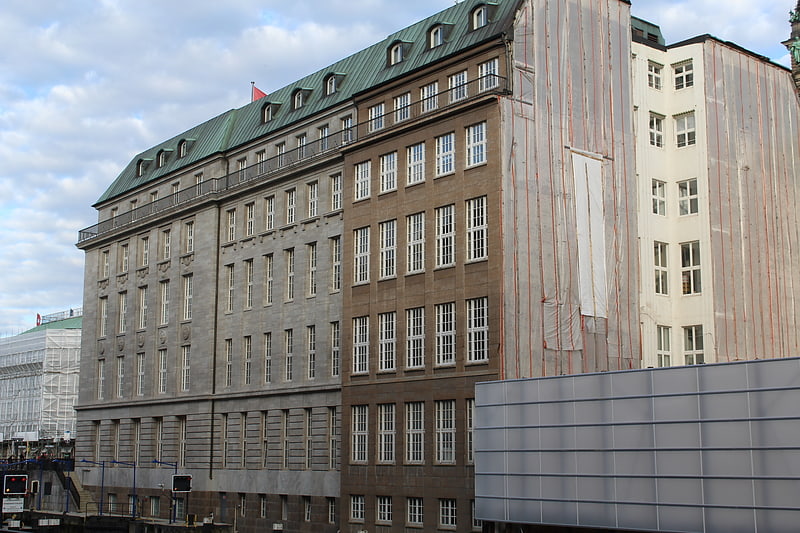
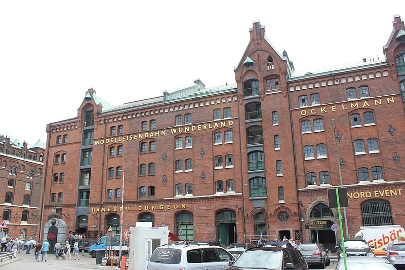
Nearby attractions include: Neuer Wall, Hauptkirche St. Michaelis, Große Bleichen, City Hall.


Frequently Asked Questions (FAQ)
Which popular attractions are close to Fleetstreet?
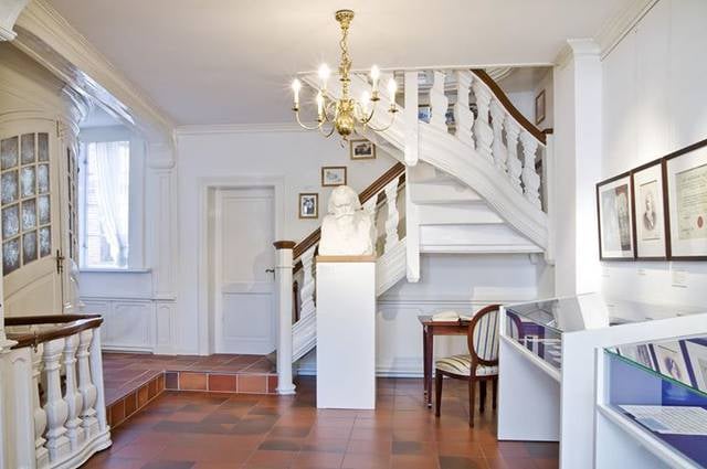
Nearby attractions include Hamburger Segel-Club, Hamburg (3 min walk), Krameramtsstuben, Hamburg (5 min walk), Fanny & Felix Mendelssohn Museum, Hamburg (6 min walk), Deichstraße, Hamburg (6 min walk).
How to get to Fleetstreet by public transport?
The nearest stations to Fleetstreet:
Light rail
Metro
Bus
Ferry
Train
Light rail
- Stadthausbrücke • Lines: S1, S2, S3 (2 min walk)
- Jungfernstieg • Lines: S1, S2, S3 (12 min walk)
Metro
- Rödingsmarkt • Lines: U3 (3 min walk)
- Baumwall • Lines: U3 (9 min walk)
Bus
- U Rödingsmarkt • Lines: 3, 601, 607, 608, 609, 610, 641, X35, X80 (5 min walk)
- Axel-Springer-Platz • Lines: 3, 607, X35 (6 min walk)
Ferry
- Jungfernstieg • Lines: Alsterkreuzfahrt (13 min walk)
- St. Pauli-Landungsbrücken • Lines: FRS HanseFerry (22 min walk)
Train
- Hamburg Dammtor / Universität (23 min walk)
- Hamburg Central Station (25 min walk)