Ringwall Güldenberg, Lohmar
Map

Map

Facts and practical information
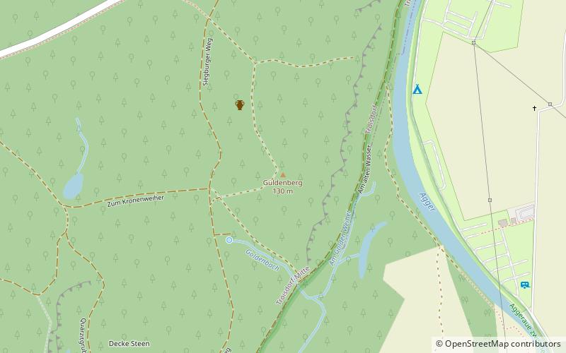
The Ringwall Güldenberg is an Iron Age fortification in the Altenrath district of Troisdorf.
Coordinates: 50°50'3"N, 7°11'35"E
Address
Lohmar
ContactAdd
Social media
Add
Day trips
Ringwall Güldenberg – popular in the area (distance from the attraction)
Nearby attractions include: Galerie Troisdorf, Michaelsberg Abbey, Siegburger Mühlengraben, Bilderbuchmuseum.


