St. Ambrosius, Trier
Map

Gallery

Facts and practical information
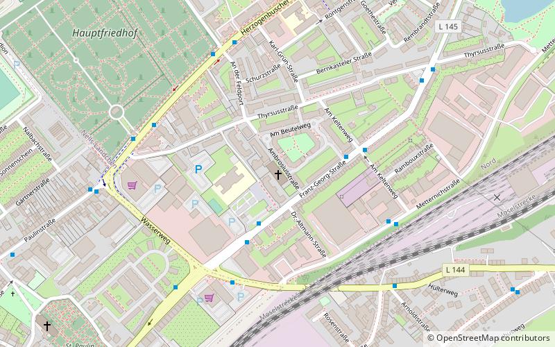
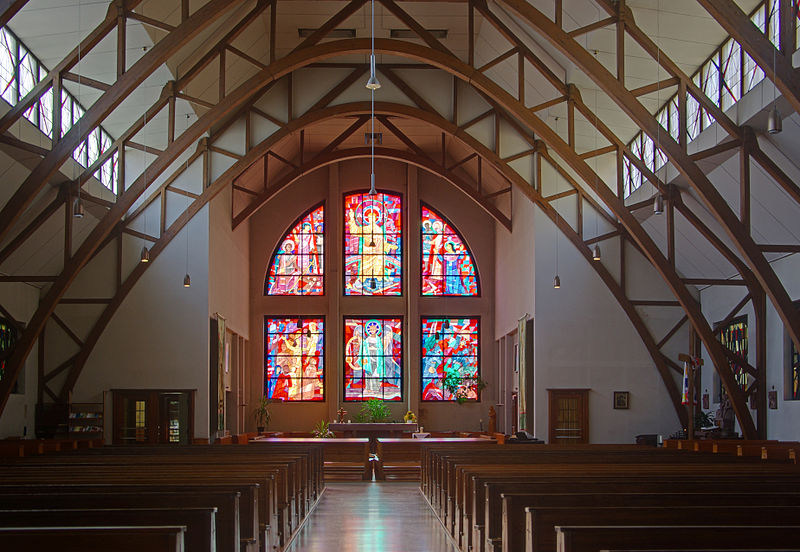
The Church of St. Ambrose in Trier is a Catholic parish church built by converting a former drill hall of the Goeben Barracks.
Coordinates: 49°45'56"N, 6°39'34"E
Day trips
St. Ambrosius – popular in the area (distance from the attraction)
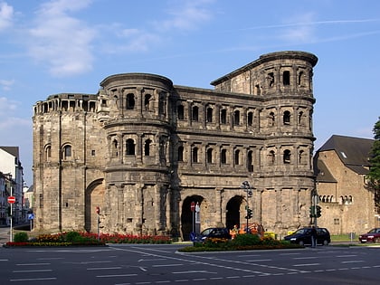
Nearby attractions include: Porta Nigra, High Cathedral of Saint Peter, Liebfrauenkirche, Aula Palatina.
Frequently Asked Questions (FAQ)
Which popular attractions are close to St. Ambrosius?
Nearby attractions include Hauptfriedhof, Trier (8 min walk), St. Paulin, Trier (10 min walk), Kürenzer Schlößchen, Trier (11 min walk), St. Martin, Trier (18 min walk).
How to get to St. Ambrosius by public transport?
The nearest stations to St. Ambrosius:
Bus
Train
Bus
- Trier, Am Beutelweg • Lines: 1, 30, 86 (3 min walk)
- Trier, Franz-Georg-Straße • Lines: 1, 13, 20, 22, 230, 30, 86 (4 min walk)
Train
- Trier Hbf (18 min walk)
- Pfalzel (38 min walk)


