Kemitzenstein

Gallery (1)
Map
Map
Facts and practical information
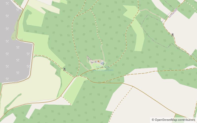
The Kemitzenstein, also Chamnitzen, is a 580.6 m above sea level elevation of the Franconian Alb with a collection of rock formations in the municipality of Bad Staffelstein in the Upper Franconian district of Lichtenfels.
Coordinates: 50°3'3"N, 11°6'36"E
Location
Bavaria
ContactAdd
Social media
Add
Day trips


