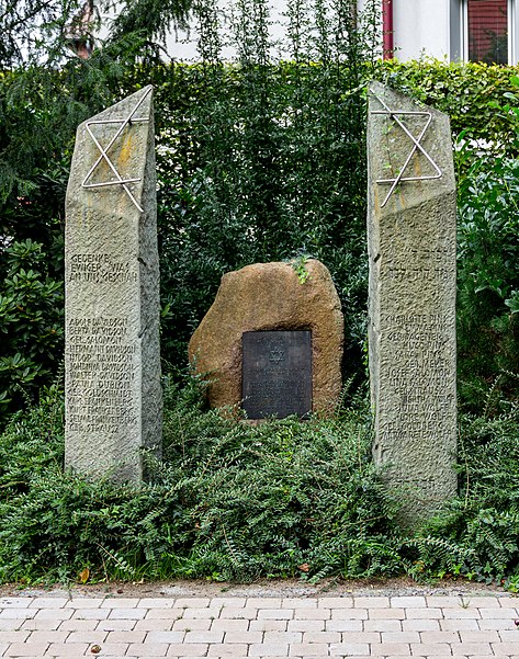
ehem. jüdischer Friedhof, Dülmen

Gallery (3)
Map
Map
Gallery
Facts and practical information
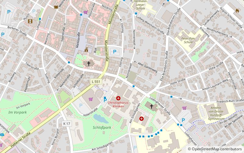
The Jewish Cemetery is a monument on Kapellenweg in Dülmen in the district of Coesfeld.
Coordinates: 51°49'42"N, 7°16'50"E
Address
Dülmen
ContactAdd
Social media
Add
Day trips