Rothaus-Zäpfle-Turm, Höchenschwand

Gallery (1)
Map
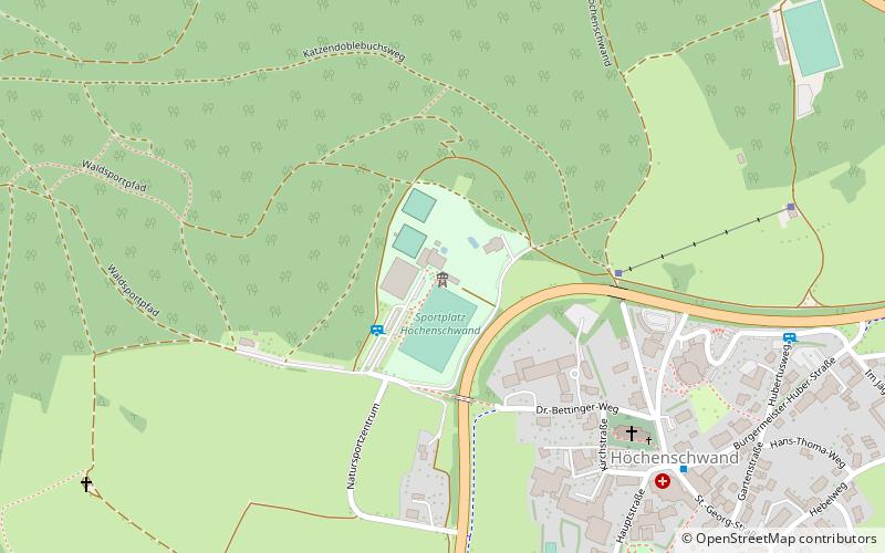
Map
Facts and practical information
Rothaus-Zäpfle-Turm is a place located in Höchenschwand (Baden-Württemberg state) and belongs to the category of climbing.
It is situated at an altitude of 3317 feet, and its geographical coordinates are 47°44'16"N latitude and 8°9'41"E longitude.
Among other places and attractions worth visiting in the area are: Waldfreibad Häusern-Höchenschwand, Häusern (watersports, 17 min walk), Kloster St. Blasien, Sankt Blasien (monastery, 54 min walk), IG 3-Seenbahn (museum, 120 min walk).
Coordinates: 47°44'16"N, 8°9'41"E
Day trips