Poascheberg


Facts and practical information
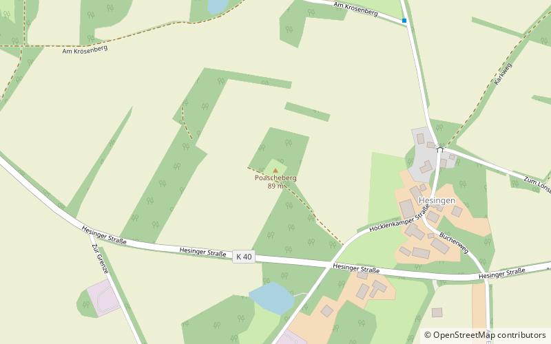
Poascheberg is located near Halle in Lower Saxony and, at 89 m above sea level, is the highest elevation of a geological ridge, most of which belongs to the Dutch region of Twente, where it is called Twentse Heuvelrug. This almost 40 km long ridge stretches from Enschede to Uelsen and was formed as a terminal moraine of the Scandinavian inland ice sheet during the Saale Ice Age about 230,000 years ago.
The Poascheberg is the highest elevation in the Lower County of Bentheim and the second highest in the entire county after the Schlossberg in Bad Bentheim.
Poascheberg does not represent a conspicuous peak, because it is surrounded by hardly lower hills such as Krösenberg, Scharpenberg, Langerberg and Lönsberg, which are all around 85 m high. On the latter, 500 m to the west on the road from Lage to Getelo, there is a 35 m high lookout tower that provides a view of Grafschaft Bentheim, Emsland and the adjacent Netherlands.
Lower Saxony
Poascheberg – popular in the area (distance from the attraction)
Nearby attractions include: Bronzezeithof Uelsen, Windmühle in Uelsen, Getelo.


