Weingarten, Freiburg
Map

Map

Facts and practical information
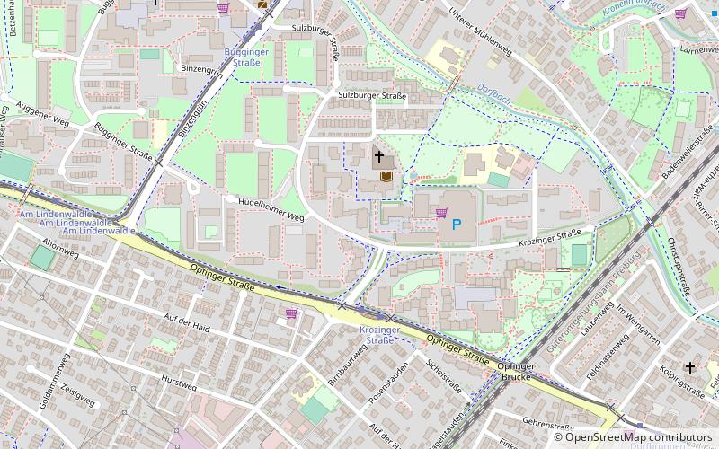
Weingarten is a municipal district of Freiburg im Breisgau. In the north, it is separated by the river Dreisam from the district Betzenhausen, in the east beyond the rail tracks lies Haslach and in the south, separated by the Opfinger Road, the district Haslach-Haid. In the west, the new district Rieselfeld borders Weingarten. ()
Address
Südwest (Weingarten)Freiburg
ContactAdd
Social media
Add
Day trips
Weingarten – popular in the area (distance from the attraction)
Nearby attractions include: Flückigersee, Seepark Betzenhausen, Green spaces in Freiburg, Betzenhausen.
Frequently Asked Questions (FAQ)
Which popular attractions are close to Weingarten?
Nearby attractions include Haslach, Freiburg (11 min walk), Green spaces in Freiburg, Freiburg (16 min walk), Wochenmarkt Rieselfeld, Freiburg (24 min walk), Rieselfeld, Freiburg (24 min walk).
How to get to Weingarten by public transport?
The nearest stations to Weingarten:
Tram
Bus
Tram
- Krozinger Straße • Lines: 5 (3 min walk)
- Bugginger Straße • Lines: 3 (7 min walk)
Bus
- Laufener Straße • Lines: 14 (12 min walk)
- Uffhauser Straße • Lines: 14 (13 min walk)


