Kapf

Gallery (1)
Map
Map
Facts and practical information
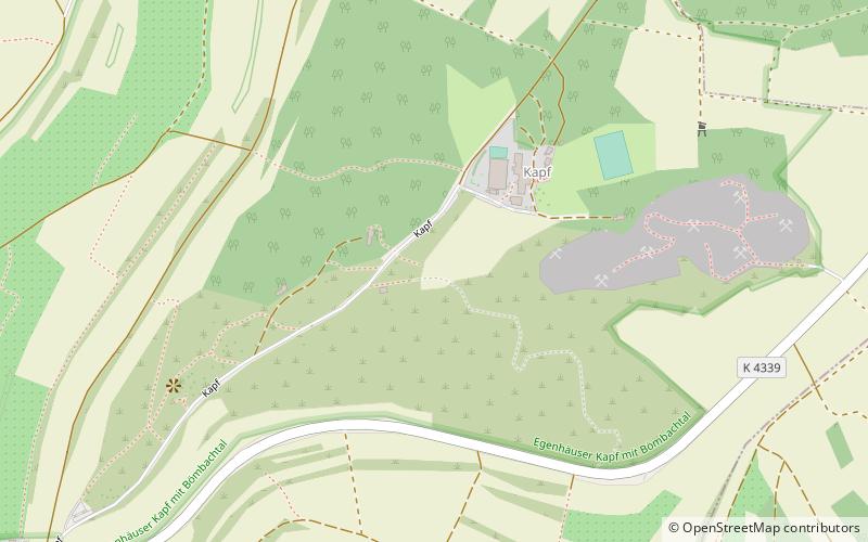
The Egenhäuser Kapf rises in the northern Black Forest, roughly halfway between Freudenstadt and Calw and, at 635 m above NN, it is the highest point along the Bömbach valley. As the crow flies it is around 8 kilometres west of Nagold and about 3 kilometres southeast of Altensteig, between the municipalities of Egenhausen and Walddorf. ()
Location
Baden-Württemberg
ContactAdd
Social media
Add
Day trips


