Jewish Cemetery, Erlangen
Map

Gallery

Facts and practical information
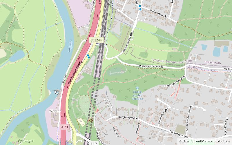
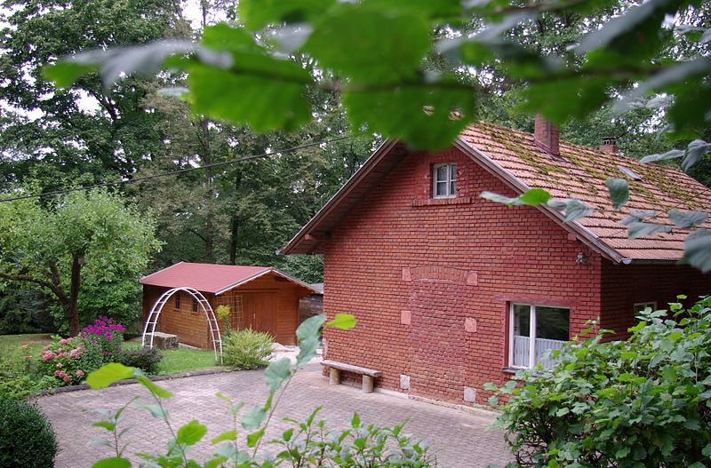
Erlangen Jewish Cemetery in Erlangen, a city in the Bavarian administrative district of Middle Franconia, was established in 1891. It is located on the northern slope of the Burgberg, on Rudelsweiherstraße.
Local name: Jüdischer FriedhofCoordinates: 49°36'42"N, 11°0'9"E
Address
Erlangen
ContactAdd
Social media
Add
Day trips
Jewish Cemetery – popular in the area (distance from the attraction)
Nearby attractions include: Botanical Garden Erlangen, Markgrafentheater Erlangen, aromatic garden, E-Werk Kulturzentrum.
Frequently Asked Questions (FAQ)
Which popular attractions are close to Jewish Cemetery?
Nearby attractions include Platenhäuschen, Erlangen (5 min walk), Burgbergkapelle, Erlangen (7 min walk), Bergkirchweih, Erlangen (10 min walk), St. Martinkirche, Erlangen (16 min walk).
How to get to Jewish Cemetery by public transport?
The nearest stations to Jewish Cemetery:
Bus
Train
Bus
- Werker • Lines: 253 (3 min walk)
- Damaschkestraße • Lines: 253 (6 min walk)
Train
- Erlangen (28 min walk)


