Dorfkirche Unterpörlitz

Gallery (1)
Map
Map
Facts and practical information
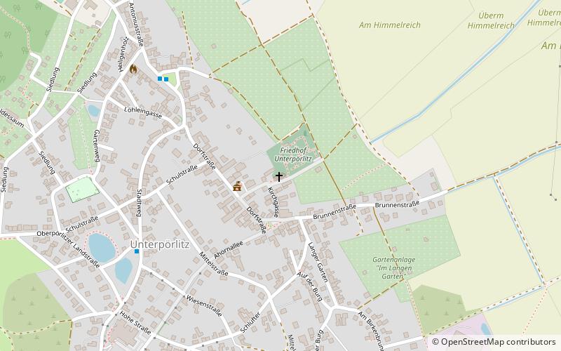
The Lutheran village church of Unterpörlitz stands at the lowest point of the Unterpörlitz district of the town of Ilmenau in Ilm County, Thuringia.
Architectural style: Romanesque revivalCoordinates: 50°42'9"N, 10°55'58"E
Location
Kirchgasse 10Ilmenau 98693 Thuringia
ContactAdd
Social media
Add
Day trips


