Wolfskuhlenpark, Bremen
Map
Map

Facts and practical information
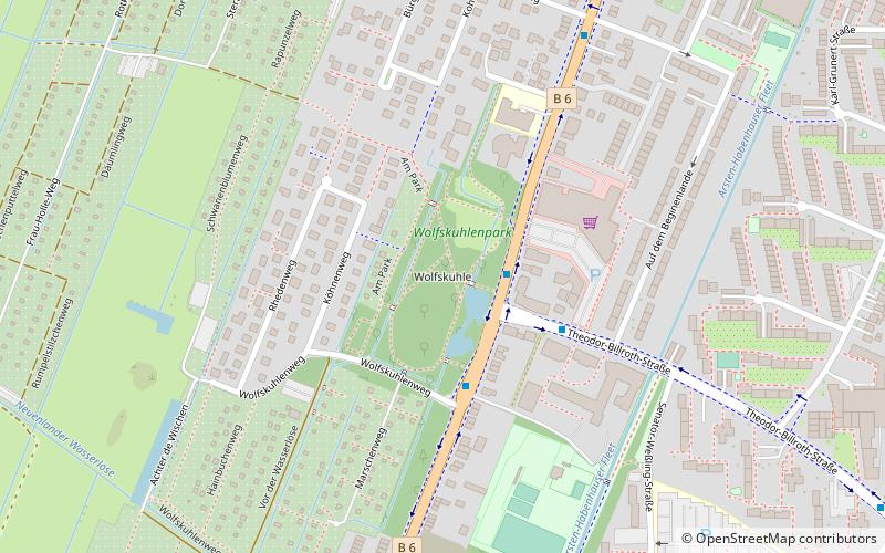
Wolfskuhlenpark is located in Bremen in the Obervieland district of Kattenturm, on Kattenturmer Heerstraße between Wolfskuhlenweg and Schweersweg. The 3-hectare park, crisscrossed by walking paths and ponds, was created on the site of a former country estate.
Elevation: 39 ft a.s.l.Coordinates: 53°2'24"N, 8°48'47"E
Day trips
Wolfskuhlenpark – popular in the area (distance from the attraction)
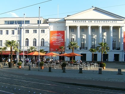
Nearby attractions include: Weser-Stadion, Kunsthalle Bremen, Olbers-Planetarium, Theater am Goetheplatz.
Frequently Asked Questions (FAQ)
How to get to Wolfskuhlenpark by public transport?
The nearest stations to Wolfskuhlenpark:
Bus
Tram
Bus
- Wolfskuhlenweg • Lines: 101, 102, 120, 226, 27, N12, N9 (2 min walk)
- Krimpelweg • Lines: 27, N9 (7 min walk)
Tram
- Klinikum Links der Weser • Lines: 4, N4 (11 min walk)
- Robert-Koch-Straße • Lines: 4, N4 (13 min walk)
