Ziegler / Riehm

Gallery (1)
Map
Map
Facts and practical information
Ziegler / Riehm is a place located in Germany and belongs to the category of wayside shrine.
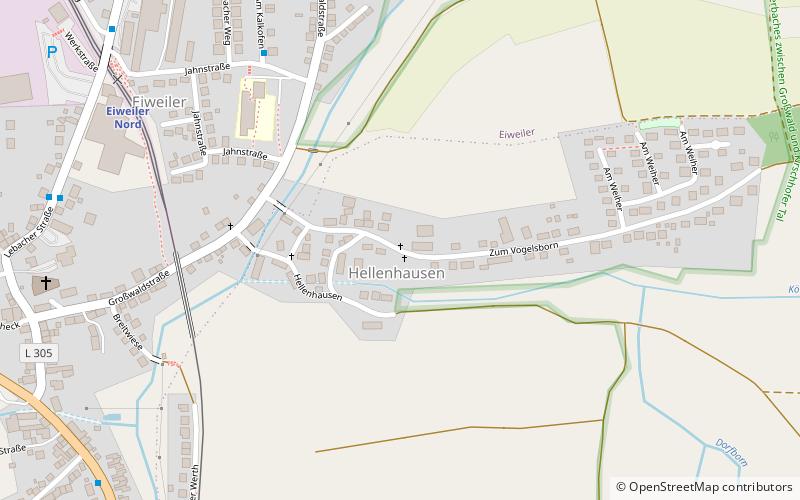
It is situated at an altitude of 823 feet, and its geographical coordinates are 49°21'37"N latitude and 6°56'21"E longitude.
Among other places and attractions worth visiting in the area are: Wayside crossHeusweiler (wayside shrine, 21 min walk), Müller / NeuHeusweiler (wayside shrine, 23 min walk), Neu-AltmeyerHeusweiler (wayside shrine, 27 min walk).
Coordinates: 49°21'37"N, 6°56'21"E
Location
Saarland
ContactAdd
Social media
Add
Day trips


