Czorneboh
Map

Map

Facts and practical information
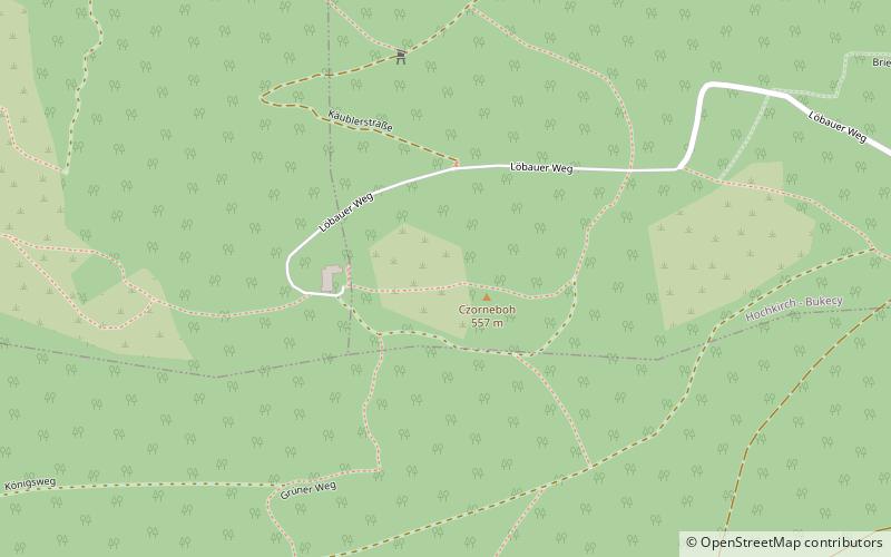
Czorneboh is a mountain between Hochkirch and Cunewalde in Upper Lusatia. Czorneboh is located 10 km. from the German-Czech border north of Šluknov and 8 km. southeast of Bautzen and with an altitude of 555.7 m it is the highest point of this foothill of the Lusatian Highlands. The peak of the Czorneboh is located in the district of Meschwitz. On the top there is a mountain hostel and an observation tower. ()
Location
Saxony
ContactAdd
Social media
Add
Day trips
Czorneboh – popular in the area (distance from the attraction)
Nearby attractions include: Cathedral of St Peter, Kälbersteine, Hochstein, Bubenik Hill.


