Leimbach Park

Gallery (3)
Map
Map
Gallery
Facts and practical information
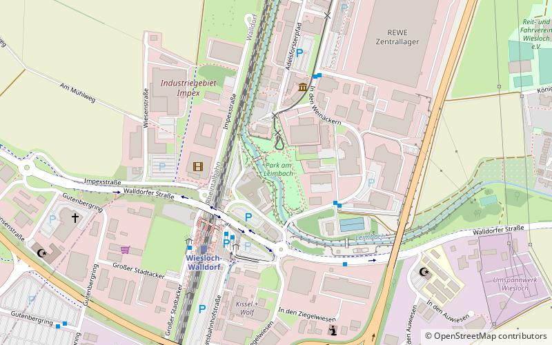
The Leimbach Park is a linear park and 100-year flood prevention scheme opened in October 2016 in Wiesloch, Germany. It is part of a larger ecological enhancement of the River Leimbach. The park follows the River Leimbach downstream from Wiesloch to a larger 1.4-hectare area just north of Wiesloch-Walldorf station, part of the former Tonwaren-Industrie Wiesloch brickworks. ()
Elevation: 371 ft a.s.l.Coordinates: 49°17'33"N, 8°39'59"E
Location
Baden-Württemberg
ContactAdd
Social media
Add
Day trips


