Sandruper See, Münster
Map

Map

Facts and practical information
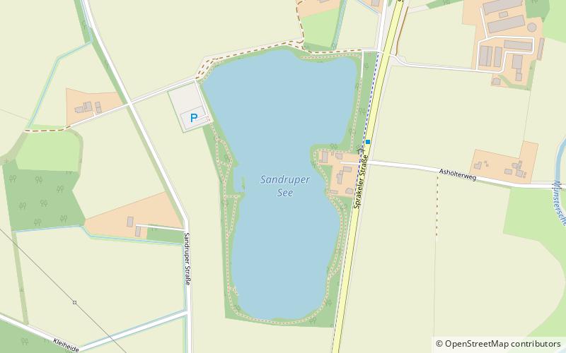
Sandruper See is a lake in Münsterland, North Rhine-Westphalia, Germany. At an elevation of 43 m, its surface area is 11 ha. It is immediately south of the small town of Sprakel, itself a northern suburb of the city of Münster. ()
Alternative names: Length: 1804 ftWidth: 984 ftMaximum depth: 64 ftElevation: 151 ft a.s.l.Coordinates: 52°1'34"N, 7°36'57"E
Address
Nord (Sprakel)Münster
ContactAdd
Social media
Add
Day trips
Sandruper See – popular in the area (distance from the attraction)
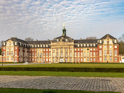
Nearby attractions include: Schloss Münster, Botanischer Garten Münster, Villa ten Hompel, Zwinger.
Frequently Asked Questions (FAQ)
How to get to Sandruper See by public transport?
The nearest stations to Sandruper See:
Bus
Train
Bus
- Ashölterweg • Lines: 19, 9, N9, R51, T81 (3 min walk)
- Abzweig Sprakel • Lines: 19, 9, N9, R51, T81 (12 min walk)
Train
- Münster-Sprakel (28 min walk)


