Stinkesberg, Ratingen
Map

Map

Facts and practical information
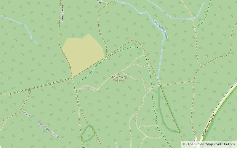
The Stinkesberg is a 95 m above sea level mountain in the North Rhine-Westphalian city of Ratingen. It is located in the Oberbusch forest area north of the city center, east of the Tiefenbroich district and southeast of the Lintorf district.
Coordinates: 51°18'58"N, 6°51'12"E
Address
Ratingen
ContactAdd
Social media
Add
Day trips
Stinkesberg – popular in the area (distance from the attraction)
Nearby attractions include: Textilfabrik Cromford, Helpensteinmühle, Town Church, Märchenzoo Blauer See.
Frequently Asked Questions (FAQ)
Which popular attractions are close to Stinkesberg?
Nearby attractions include Märchenzoo Blauer See, Ratingen (18 min walk), Textilfabrik Cromford, Ratingen (19 min walk).


