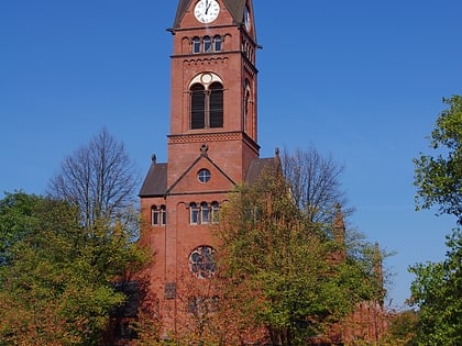
Kirche am Katernberger Markt, Essen
Map
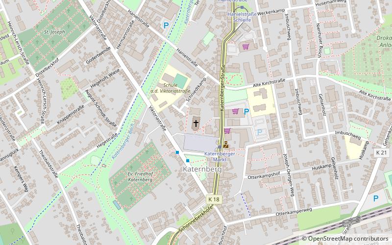
Map

Facts and practical information
Katernberg Protestant Church is a church building in the northern district of Katernberg, Essen. The largest Protestant church in Essen, it is a listed building.
Coordinates: 51°29'52"N, 7°2'50"E
Day trips
Kirche am Katernberger Markt – popular in the area (distance from the attraction)
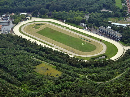
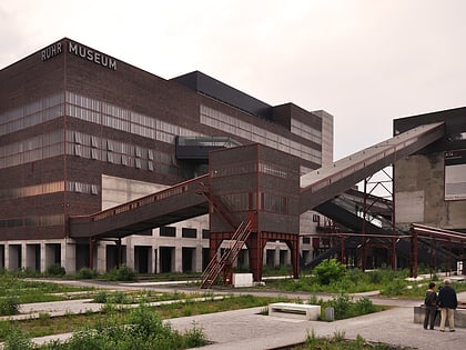
Nearby attractions include: Zollverein Coal Mine Industrial Complex, GelsenTrabPark, Ruhr Museum, Red Dot Design Museum.
Frequently Asked Questions (FAQ)
Which popular attractions are close to Kirche am Katernberger Markt?
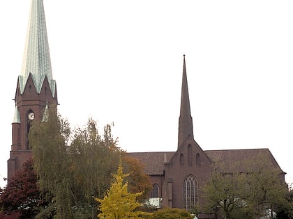
Nearby attractions include Kirche St. Joseph, Essen (8 min walk), pact zollverein, Essen (15 min walk), Red Dot Design Museum, Essen (19 min walk), Zollverein Coal Mine Industrial Complex, Essen (19 min walk).
How to get to Kirche am Katernberger Markt by public transport?
The nearest stations to Kirche am Katernberger Markt:
Bus
Tram
Train
Bus
- Katernberger Markt • Lines: 170, 173, 183, Ne15 (2 min walk)
- Zollverein Nord Bahnhof • Lines: 170, 183, Ne15, Ne2 (8 min walk)
Tram
- Katernberger Markt • Lines: 107 (2 min walk)
- Hanielstraße • Lines: 107 (7 min walk)
Train
- Essen Zollverein Nord (8 min walk)
