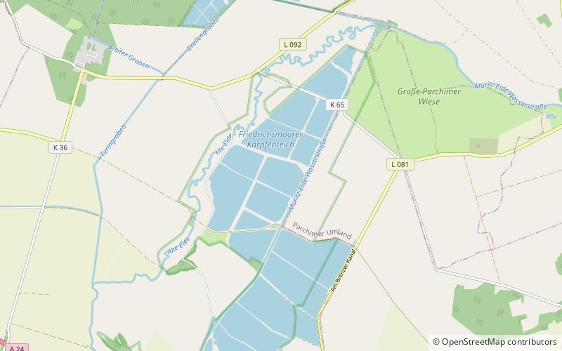
Friedrichsmoorer Karpfenteiche
Map

Map

Facts and practical information
The Friedrichsmoorer Karpfenteiche are ponds in the west of Mecklenburg-Vorpommern, Germany. At an elevation of 35.5–36.9 m, its surface area is 3.3 km². ()
Alternative names: Area: 1.27 mi²Length: 2.36 miWidth: 4429 ftElevation: 108 ft a.s.l.Coordinates: 53°26'24"N, 11°37'3"E
Location
Mecklenburg-West Pomerania
ContactAdd
Social media
Add
Day trips
Friedrichsmoorer Karpfenteiche – popular in the area (distance from the attraction)
Nearby attractions include: Wöbbelin concentration camp, Neustädter See, Kiessee Dreenkrögen, Mary's Church.


