Synagoge Brühl, Brühl
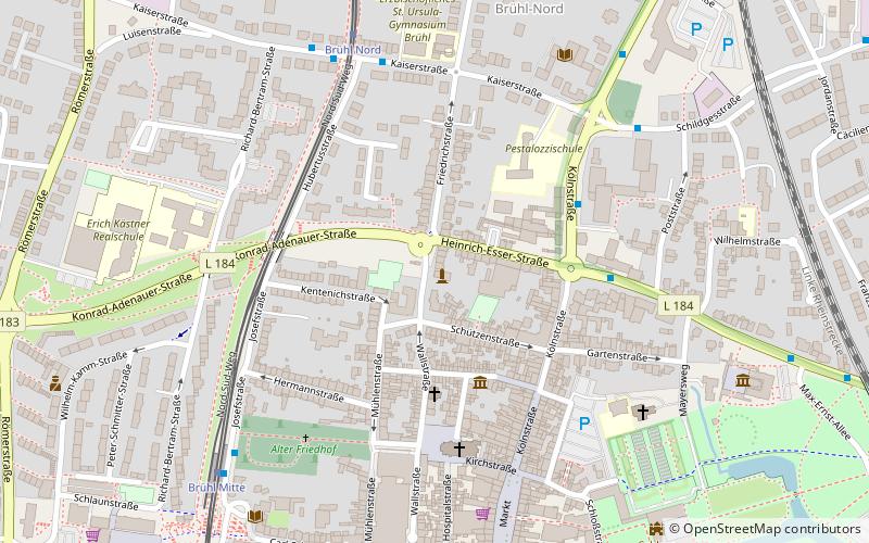
Map
Gallery
Facts and practical information
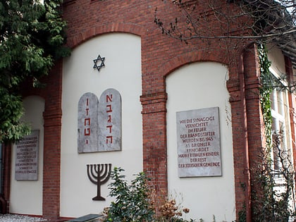
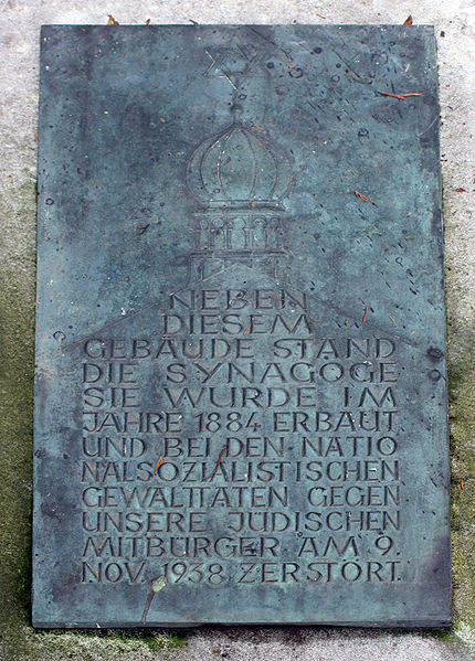
The synagogue in Brühl, a city in North Rhine-Westphalia, was built in 1881/82 and destroyed during the November pogroms. It was located on Friedrichstraße.
Coordinates: 50°49'54"N, 6°54'12"E
Address
Brühl
ContactAdd
Social media
Add
Day trips
Synagoge Brühl – popular in the area (distance from the attraction)
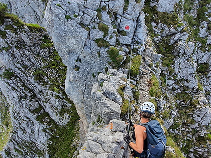
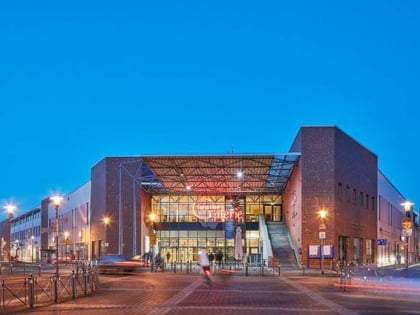
Nearby attractions include: Augustusburg and Falkenlust Palaces, Via Ferrata- Der Kletterturm, Giesler-Galerie, KarlsBad.
Frequently Asked Questions (FAQ)
Which popular attractions are close to Synagoge Brühl?
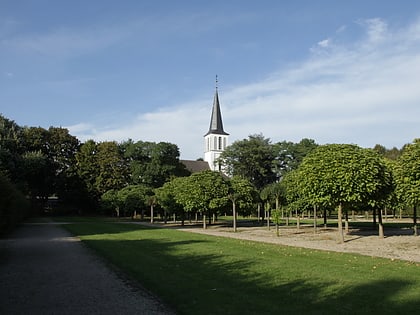
Nearby attractions include Christ Church, Brühl (6 min walk), Augustusburg and Falkenlust Palaces, Brühl (8 min walk), Katholische öffentliche Bücherei Brühl Ville, Brühl (23 min walk).
How to get to Synagoge Brühl by public transport?
The nearest stations to Synagoge Brühl:
Bus
Tram
Train
Light rail
Bus
- Kölnstraße/Comesstraße • Lines: 703, 930 (4 min walk)
- Brühl Nord • Lines: 701, 702, 703, 704, 706, 709, 930, 935 (6 min walk)
Tram
- Brühl Nord • Lines: 18 (6 min walk)
- Brühl Mitte • Lines: 18 (7 min walk)
Train
- Brühl (12 min walk)
- Brühl-Kierberg (21 min walk)
Light rail
- Brühl-Vochem • Lines: 18 (23 min walk)
