Bodenfelder Synagoge, Göttingen
Map

Map

Facts and practical information
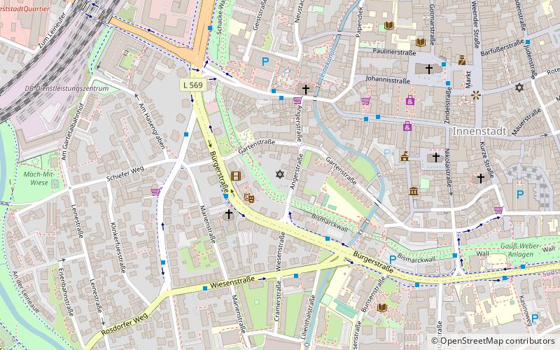
The synagogue in Bodenfelde, a municipality in the district of Northeim in Lower Saxony, was located in Mühlenstraße in Bodenfelde on a farm property and since 2008 has been located in Angerstraße in Göttingen.
Coordinates: 51°31'52"N, 9°55'45"E
Address
Innenstadt (Nikolaistraße)Göttingen
ContactAdd
Social media
Add
Day trips
Bodenfelder Synagoge – popular in the area (distance from the attraction)
Nearby attractions include: Alter Botanischer Garten, Gänseliesel, SS. Peter and Paul's Church, Historische Sternwarte.
Frequently Asked Questions (FAQ)
Which popular attractions are close to Bodenfelder Synagoge?
Nearby attractions include Lohmühle, Göttingen (4 min walk), Odilien Mill, Göttingen (4 min walk), Literarisches Zentrum Göttingen e.V., Göttingen (4 min walk), St.-Nikolai-Kirche, Göttingen (6 min walk).
How to get to Bodenfelder Synagoge by public transport?
The nearest stations to Bodenfelder Synagoge:
Bus
Train
Bus
- Marienstraße • Lines: 11, 12, 130, 154, 21, 22, 73, 91, E (2 min walk)
- Angerstraße • Lines: 11, 12, 130, 140, 154, 155, 21, 22, 73, 91, E, E61, F (3 min walk)
Train
- Göttingen (11 min walk)


