Herrmannsberg
Map
Map

Facts and practical information
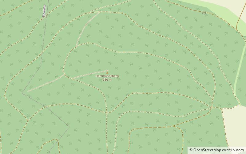
The Herrmannsberg is a hill, 536 metres hill, in the county of Kusel in the German state of Rhineland-Palatinate. It is part of the North Palatine Uplands. In the southeast it is adjoined by the Bornberg. Nearby villages are the "Herrmannsberg communities" of Welchweiler, Elzweiler and Horschbach as well as Hinzweiler, Oberweiler im Tal and Eßweiler. ()
Location
Rhineland-Palatinate
ContactAdd
Social media
Add
Day trips
Herrmannsberg – popular in the area (distance from the attraction)
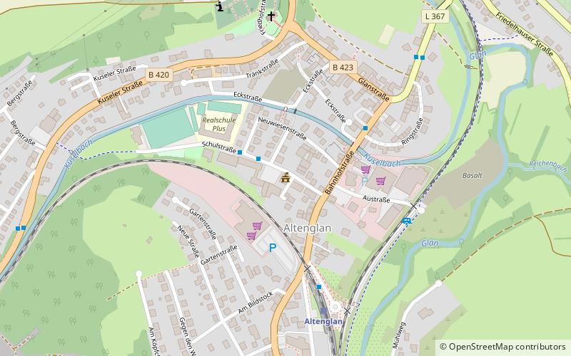
Nearby attractions include: Schloss Lauterecken, Altenglan, Lauter, Königsberg.


