Wittelsbacher Park, Augsburg
Map

Map

Facts and practical information
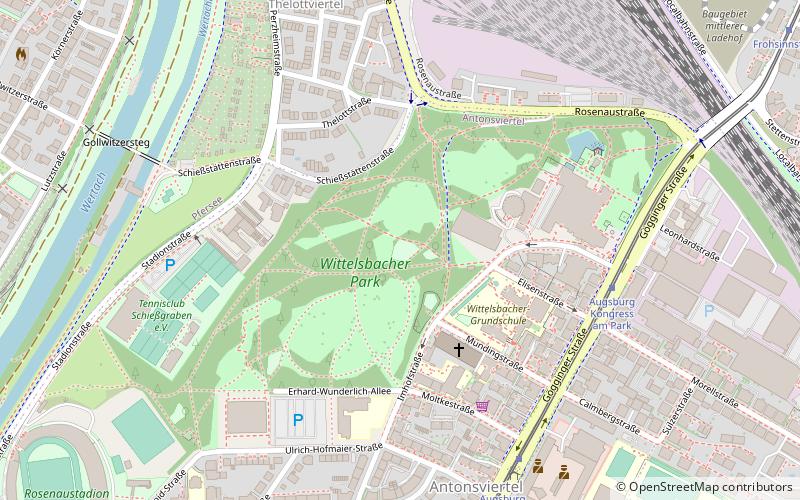
Wittelsbacher Park is one of the largest green spaces in Augsburg. It covers 18 hectares and has been a landscape conservation area since March 10, 1980. The total area of the protected area is 20.8 hectares.
The area, often referred to simply as Wittelsbacher Park, is made up of the so-called Stadtgarten in the northeast, the Wittelsbacher Park proper and the slope leading down to the Wertachtal valley.
Elevation: 1647 ft a.s.l.Coordinates: 48°21'32"N, 10°53'0"E
Day trips
Wittelsbacher Park – popular in the area (distance from the attraction)
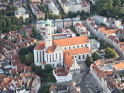
Nearby attractions include: Curt-Frenzel-Stadion, Rosenaustadion, Basilica of SS. Ulrich and Afra, Augsburger Puppenkiste.
Frequently Asked Questions (FAQ)
Which popular attractions are close to Wittelsbacher Park?
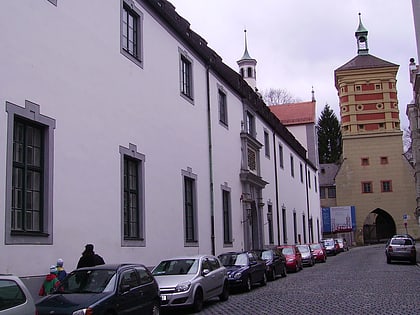
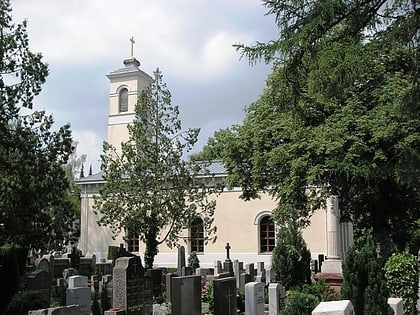
Nearby attractions include St. Anton, Augsburg (3 min walk), Architekturmuseum Schwaben, Augsburg (4 min walk), Kongress am Park, Augsburg (5 min walk), Rosenaustadion, Augsburg (11 min walk).
How to get to Wittelsbacher Park by public transport?
The nearest stations to Wittelsbacher Park:
Tram
Bus
Train
Tram
- Augsburg Kongress am Park • Lines: 1 (6 min walk)
- Frohsinnstraße • Lines: 1 (12 min walk)
Bus
- Gymnasium Sankt Anna • Lines: 739 (9 min walk)
- Frohsinnstraße • Lines: 700, 721, 90 (12 min walk)
Train
- Augsburg Hauptbahnhof (13 min walk)
- Augsburg Morellstraße (13 min walk)


