Oberer Stadtplatz, Deggendorf

Gallery (1)
Map
Map
Facts and practical information
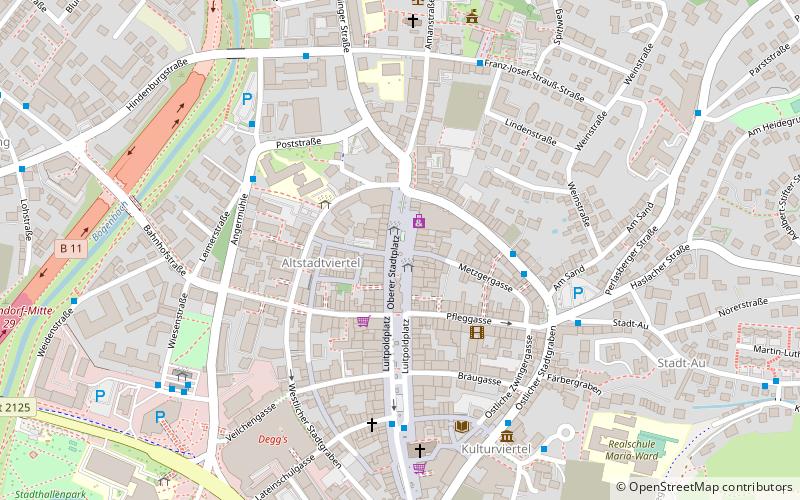
Oberer Stadtplatz (address: Oberer Stadtplatz) is a place located in Deggendorf (Bavaria ) and belongs to the category of square.
It is situated at an altitude of 1047 feet, and its geographical coordinates are 48°50'4"N latitude and 12°57'44"E longitude.
Among other places and attractions worth visiting in the area are: Degg's (shopping, 6 min walk), Deggendorf Institute of Technology (universities and schools, 13 min walk), Metten Abbey, Metten (monastery, 64 min walk).
Coordinates: 48°50'4"N, 12°57'44"E
Address
Oberer StadtplatzDeggendorf
ContactAdd
Social media
Add
Day trips


