Krampfer Palace

Gallery (1)
Map
Map
Facts and practical information
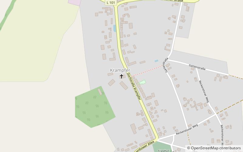
Krampfer Palace is 18th-century palace located in the village of Krampfer in the municipality of Plattenburg, near Perleberg, Prignitz district, Brandenburg, Germany. The palace estate covers approximately 4,700 acres. There have been a number of spelling variations for Krampfer over the years, including Cramuir, Kranauer, Cramber, tu Kramvyr, van Kraenvoerde and Kranffer. ()
Coordinates: 53°3'39"N, 12°1'2"E
Location
Brandenburg
ContactAdd
Social media
Add