Dreifelder Weiher
Map

Map

Facts and practical information
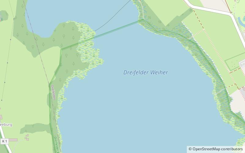
The Dreifelder Weiher is a small lake in the northeastern part of the German federal state of Rhineland-Palatinate, which is part of the low mountain range of the Westerwald. It is one of the seven lakes of the Westerwald Lakes. With an area of 123 hectares, it is the largest pond of the Westerwald Lake District. ()
Alternative names: Area: 0.47 mi²Length: 6125 ftWidth: 2534 ftElevation: 1352 ft a.s.l.Coordinates: 50°35'34"N, 7°49'27"E
Location
Rhineland-Palatinate
ContactAdd
Social media
Add
Day trips
Dreifelder Weiher – popular in the area (distance from the attraction)
Nearby attractions include: Westerwald, Landschaftsmuseum Westerwald, Selters, Wildpark Bad Marienberg.


