Sauer Valley Bridge

Gallery (1)
Map
Map
Facts and practical information
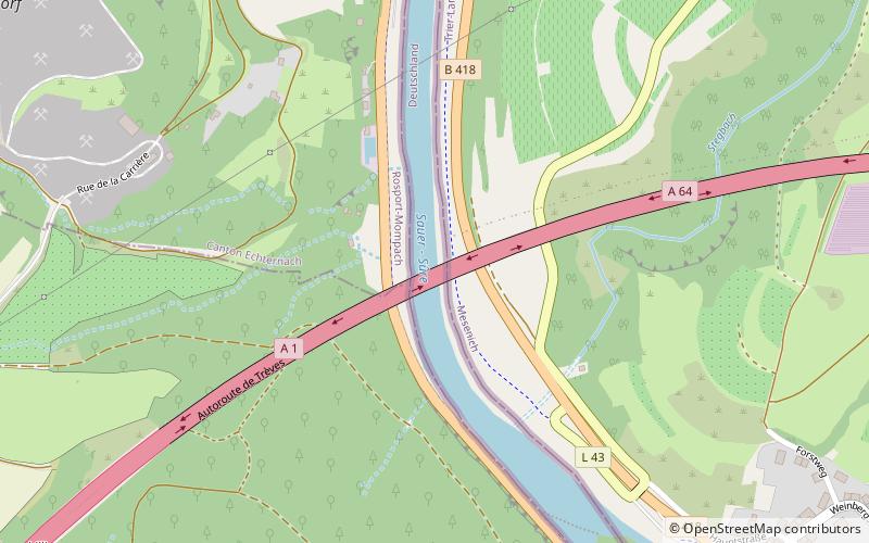
The Sauer Valley Bridge is a motorway bridge high above the Sauer River which at this point marks the frontier between Luxembourg and Germany. It was constructed between 1984 and 1987. ()
Location
Rhineland-Palatinate
ContactAdd
Social media
Add
Day trips