Hochgern
Map

Map

Facts and practical information
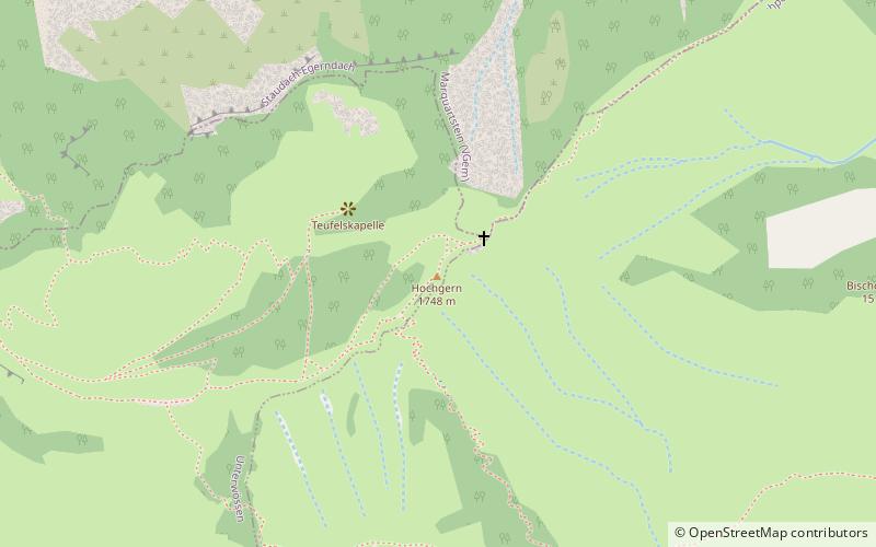
The Hochgern is a mountain found in the Bavarian district of Traunstein, in Germany. It is part of the Chiemgau Alps and has a height of 1748 meters above sea level. The Hochgern marks the junction of the municipalities of Unterwössen, Marquartstein and Ruhpolding, as well as the Urschlau Forest district. ()
Location
Bavaria
ContactAdd
Social media
Add
Day trips
Hochgern – popular in the area (distance from the attraction)
Nearby attractions include: Weitsee, Taubensee, Burg Marquartstein, Hochfelln.


