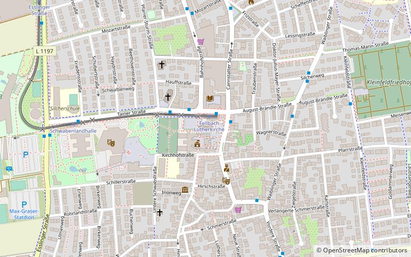
Luther Church, Stuttgart
Map

Map

Facts and practical information
The Lutherkirche is a Lutheran church building in the Lutherkirchengemeinde Fellbach in the Protestant church district of Waiblingen and the historic landmark of the city of Fellbach.
Coordinates: 48°48'31"N, 9°16'35"E
Day trips
Luther Church – popular in the area (distance from the attraction)
Nearby attractions include: Kappelberg, F.3 Familien- und Freizeitbad Fellbach, Mercedes-Benz Classic Center, Fellbach.
Frequently Asked Questions (FAQ)
Which popular attractions are close to Luther Church?
Nearby attractions include Fellbach, Stuttgart (15 min walk), Mercedes-Benz Classic Center, Stuttgart (16 min walk), Kappelberg Tunnel, Kernen (21 min walk).
How to get to Luther Church by public transport?
The nearest stations to Luther Church:
Light rail
Bus
Train
Light rail
- Fellbach Lutherkirche • Lines: U1, U16 (1 min walk)
- Schwabenlandhalle • Lines: U1, U16 (7 min walk)
Bus
- Fellbach Lutherkirche • Lines: 207, 212, 215, 60, N6 (1 min walk)
- August-Brändle-Straße • Lines: 212, 60 (5 min walk)
Train
- Fellbach (22 min walk)


