Lower Rhine Heights
Map

Map

Facts and practical information
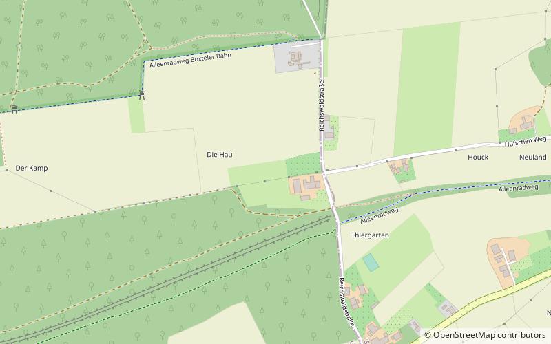
The Lower Rhine Heights is a hill ridge which, with several interruptions, stretches in a broad arc through the Lower Rhine Plain from Krefeld to Nijmegen, between the valley of the Rhine in the east and that of the Niers in the west. This landform element is also called the Lower Rhine Hill Ridge. ()
Location
North Rhine-Westphalia
ContactAdd
Social media
Add
Day trips
Lower Rhine Heights – popular in the area (distance from the attraction)
Nearby attractions include: LVR-Archäologischer Park Xanten, Lower Germanic Limes, Xanten Cathedral, Kriemhildmühle.


