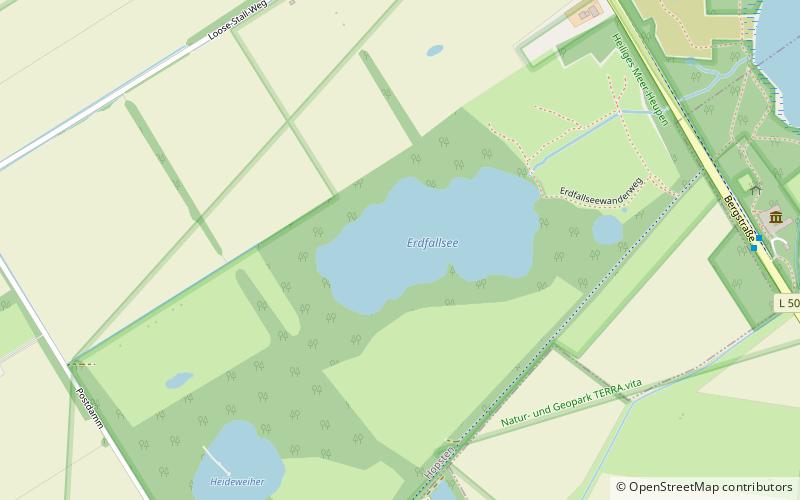
Heideweiher
Map

Map

Facts and practical information
Heideweiher is a lake in Hopsten, Kreis Steinfurt, North Rhine-Westphalia, Germany. At an elevation of 45 m, its surface area is 2 ha. ()
Alternative names: Area: 4.94 acres (0.0077 mi²)Length: 443 ftWidth: 361 ftMaximum depth: 5 ftElevation: 151 ft a.s.l.Coordinates: 52°20'56"N, 7°37'28"E
Location
North Rhine-Westphalia
ContactAdd
Social media
Add
Day trips
Heideweiher – popular in the area (distance from the attraction)
Nearby attractions include: Torfmoorsee, Großes Heiliges Meer, Erdfallsee, Dortmund–Ems Canal.


