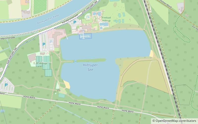
Hiltruper See, Münster
Map

Map

Facts and practical information
Hiltruper See is a lake in Münsterland, North Rhine-Westphalia, Germany. At an elevation of 58 m, its surface area is 15.8 ha. See the German page for more information. ()
Alternative names: Area: 39.04 acres (0.061 mi²)Length: 1312 ftWidth: 1706 ftMaximum depth: 15 ftElevation: 187 ft a.s.l.Coordinates: 51°53'14"N, 7°39'29"E
Address
Hiltrup (Hiltrup-Mitte)Münster
ContactAdd
Social media
Add
Day trips
Hiltruper See – popular in the area (distance from the attraction)
Nearby attractions include: Hiltruper Museum, St. Clemenskirche, Bait ul-Momin, Alte St. Clemens Kirche.
Frequently Asked Questions (FAQ)
How to get to Hiltruper See by public transport?
The nearest stations to Hiltruper See:
Bus
Train
Bus
- Steiner See • Lines: 341, N42, X50 (12 min walk)
- Haus Heidhorn • Lines: 341, N42, X50 (18 min walk)
Train
- Münster-Hiltrup (31 min walk)


