Wayside cross, Waldfeucht

Gallery (1)
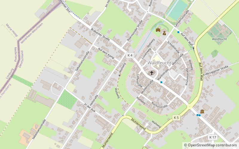
Map
Map
Facts and practical information
The list of monuments in Waldfeucht contains the listed buildings on the territory of the municipality of Waldfeucht in the district of Heinsberg in North Rhine-Westphalia. These monuments are included in the list of monuments of the municipality of Waldfeucht; the basis for the inclusion is the Monument Protection Act of North Rhine-Westphalia.
Local name: WegekreuzCoordinates: 51°3'58"N, 5°59'9"E
Getting there by public transportation
Public transportation stops near this location
- Bus
 Bus
Bus
- Calculate routeWaldfeucht Markt 4 min walk
- Calculate routeWaldfeucht Brüggelchen 19 min walk
Day trips


Frequently Asked Questions (FAQ)
Which popular attractions are close to Wayside cross?
Nearby attractions include Town Hall, Waldfeucht (5 min walk), Gerhard-Tholen-Stube, Waldfeucht (8 min walk), Windmühle, Waldfeucht (9 min walk), Wayside cross, Waldfeucht (12 min walk).
How to get to Wayside cross by public transport?
The nearest stations to Wayside cross:
Bus
Bus
- Waldfeucht Markt • Lines: 436, 474, 475 (4 min walk)
- Waldfeucht Brüggelchen • Lines: 474, 475 (19 min walk)